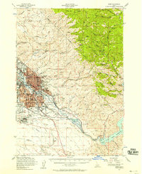
1954 Map of Boise
USGS Topo · Published 1958About this map
The city of Boise serves as the focal point for this mid-century landscape, positioned at the edge of the Boise National Forest and the Snake River Plain. The urban core is defined by a dense network of residential streets and civic institutions, including Boise Jr College and several neighborhood schools like Lowell Sch and Franklin Sch. To the southeast, the Boise River leads toward the recently completed Lucky Peak Reservoir, a major modification of the hydrology that reshaped the valley's eastern approach.
Find a feature on this map
111 named features on this map. Tap any name to fly to it.
Don’t see what you’re looking for? This feature index may not catch every label — zoom into the map to look around manually.
Map Details
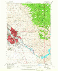
Editions of this 1954 Boise Map
2 editions found
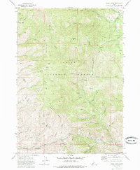
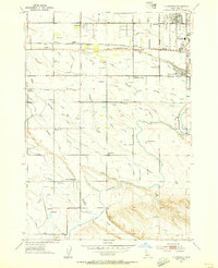
Other maps of this area

1892 · Mountain Home
USGS Topo · 1:125,000

1892 · Boise
USGS Topo · 1:125,000

1892 · Bisuka
USGS Topo · 1:125,000

1893 · Mountain Home
USGS Topo · 1:125,000

1894 · Bisuka
USGS Topo · 1:125,000

1894 · Idaho Basin
USGS Topo · 1:125,000

1897 · Boise
USGS Topo · 1:125,000
1949 · Robie Creek
USGS Topo · 1:24,000

1953 · Eagle
USGS Topo · 1:24,000
1953 · Cloverdale
USGS Topo · 1:24,000