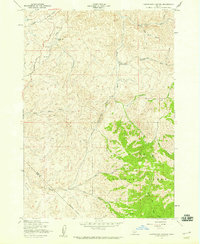
1957 Map of Cartwright Canyon
USGS Topo · Published 1959About this map
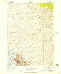
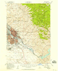
Dobson Ranch sits at the center of this 1957 field-checked survey, a rare named homestead in a landscape defined by sharp elevation changes and winding drainages. The map reveals the boundary where the Boise National Forest meets private lands, showing a network of jeep trails and the primary Horseshoe Bend Road navigating the ridges. Significant landmarks like the massive Stack Rock and Bread Loaf Rock serve as natural navigational points for the area's early explorers and ranchers.
Find a feature on this map
19 named features on this map. Tap any name to fly to it.
Don’t see what you’re looking for? This feature index may not catch every label — zoom into the map to look around manually.
Map Details
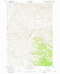
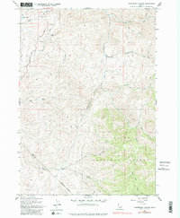
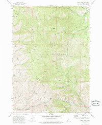
Editions of this 1957 Cartwright Canyon Map
4 editions found

Other maps of this area

1892 · Boise
USGS Topo · 1:125,000

1897 · Boise
USGS Topo · 1:125,000
1949 · Robie Creek
USGS Topo · 1:24,000

1953 · Eagle
USGS Topo · 1:24,000

1953 · Montour
USGS Topo · 1:62,500
1954 · Boise North
USGS Topo · 1:24,000
1954 · Boise
USGS Topo · 1:62,500

1955 · Boise
USGS Topo · 1:250,000
1957 · Horseshoe Bend
USGS Topo · 1:24,000
1957 · Shafer Butte
USGS Topo · 1:24,000