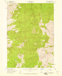
1957 Map of Shafer Butte
USGS Topo · Published 1959About this map
The high ridges of the Boise National Forest dominate this mid-century survey, centered on the prominent elevation of Shafer Butte. As Boise expanded during the late 1950s, this area transitioned into a critical recreational and communications hub. The map highlights the early footprints of Bogus Basin State Park, which was then becoming a primary winter sports destination for the Treasure Valley. Elevated landmarks like Deer Point and Doe Point show the concentration of regional broadcasting infrastructure, including the KBOI-TV Towers and Kido-Tv, illustrating how these peaks served the growing population below.
Find a feature on this map
33 named features on this map. Tap any name to fly to it.
Don’t see what you’re looking for? This feature index may not catch every label — zoom into the map to look around manually.
Map Details
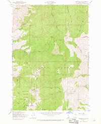
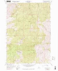
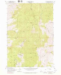
Editions of this 1957 Shafer Butte Map
4 editions found
Other maps of this area

1892 · Boise
USGS Topo · 1:125,000

1894 · Idaho Basin
USGS Topo · 1:125,000

1897 · Boise
USGS Topo · 1:125,000

1949 · Robie Creek
USGS Topo · 1:24,000

1954 · Boise North
USGS Topo · 1:24,000

1954 · Boise
USGS Topo · 1:62,500

1955 · Hailey
USGS Topo · 1:250,000

1955 · Boise
USGS Topo · 1:250,000

1957 · Cartwright Canyon
USGS Topo · 1:24,000

1957 · Horseshoe Bend
USGS Topo · 1:24,000