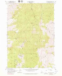
1957 Map of Shafer Butte
USGS Topo · Published 1979About this map
Boise Ridge dominates the skyline of this 1957 field-checked survey, serving as a high-altitude backdrop for the developing recreation and communications infrastructure north of Idaho's capital. The summit of Shafer Butte stands as a primary landmark, hosting a Lookout and the prominent KBOI-TV Towers and Kido-tv installations that signify the era's expanding broadcast reach. The landscape is characterized by the established Bogus Basin State Park, where early winter sports infrastructure like the Ski Tow is already visible near Deer Point.
Find a feature on this map
68 named features on this map. Tap any name to fly to it.
Don’t see what you’re looking for? This feature index may not catch every label — zoom into the map to look around manually.
Map Details
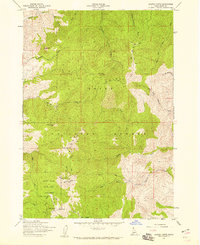
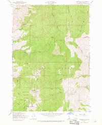
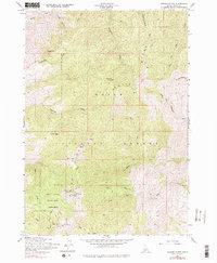
Editions of this 1957 Shafer Butte Map
4 editions found
Other maps of this area

1892 · Boise
USGS Topo · 1:125,000

1894 · Idaho Basin
USGS Topo · 1:125,000

1897 · Boise
USGS Topo · 1:125,000

1949 · Robie Creek
USGS Topo · 1:24,000

1954 · Boise North
USGS Topo · 1:24,000

1954 · Boise
USGS Topo · 1:62,500

1955 · Hailey
USGS Topo · 1:250,000

1955 · Boise
USGS Topo · 1:250,000

1957 · Cartwright Canyon
USGS Topo · 1:24,000

1957 · Horseshoe Bend
USGS Topo · 1:24,000