
1957 Map of Horseshoe Bend
USGS Topo · Published 1959About this map
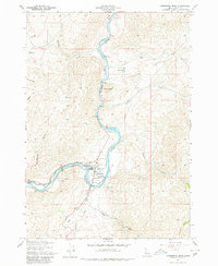
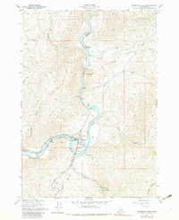
The Payette River carves a sharp path through this Boise County landscape, defined by the industrial and agricultural infrastructure surrounding Horseshoe Bend. During the late 1950s, the town served as a vital node where the Union Pacific railroad met a complex system of water management, including a Diversion Dam, a series of Millponds, and the Canal Road. The map reveals the era's reliance on the river for both power and transport, anchored by the Powerhouse downstream and the Gaging Sta to the north.
Find a feature on this map
31 named features on this map. Tap any name to fly to it.
Don’t see what you’re looking for? This feature index may not catch every label — zoom into the map to look around manually.
Map Details
Editions of this 1957 Horseshoe Bend Map
3 editions found
Other maps of this area

1892 · Boise
USGS Topo · 1:125,000

1894 · Squaw Creek
USGS Topo · 1:125,000

1897 · Boise
USGS Topo · 1:125,000

1953 · Banks
USGS Topo · 1:62,500

1953 · Montour
USGS Topo · 1:62,500

1955 · Baker
USGS Topo · 1:250,000

1955 · Boise
USGS Topo · 1:250,000

1957 · Cartwright Canyon
USGS Topo · 1:24,000
1957 · Shafer Butte
USGS Topo · 1:24,000
1957 · Harris Creek Summit
USGS Topo · 1:24,000