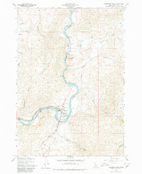
1957 Map of Horseshoe Bend
USGS Topo · Published 1980About this map
The Payette River carves a dramatic path through the Boise County landscape, anchoring the economic and geographic heart of this mid-century Idaho survey. The settlement of Horseshoe Bend occupies the river’s namesake curve, serving as a hub where the Union Pacific railroad tracks meet the water’s edge. Industrial infrastructure is prominent throughout the corridor, including a Diversion Dam, a Powerhouse, and several millponds, reflecting the area's reliance on river-driven industry.
Find a feature on this map
28 named features on this map. Tap any name to fly to it.
Don’t see what you’re looking for? This feature index may not catch every label — zoom into the map to look around manually.
Map Details
Editions of this 1957 Horseshoe Bend Map
3 editions found
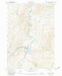
Other maps of this area

1892 · Boise
USGS Topo · 1:125,000

1894 · Squaw Creek
USGS Topo · 1:125,000

1897 · Boise
USGS Topo · 1:125,000

1953 · Banks
USGS Topo · 1:62,500

1953 · Montour
USGS Topo · 1:62,500

1955 · Baker
USGS Topo · 1:250,000

1955 · Boise
USGS Topo · 1:250,000

1957 · Cartwright Canyon
USGS Topo · 1:24,000

1957 · Horseshoe Bend
USGS Topo · 1:24,000
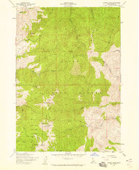
1957 · Shafer Butte
USGS Topo · 1:24,000