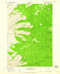
1957 Map of Harris Creek Summit
USGS Topo · Published 1959About this map
Boise Ridge dominates the skyline of the Boise National Forest in this late 1950s survey, marking a high divide between numerous drainages including Harris Creek and Jackass Creek. The map documents a rugged landscape shaped by a legacy of resource extraction, clearly marking the Belshazzar Mine and the Mountain Chief Mine, alongside several unidentified prospects. These mining sites are connected by a network of primitive transportation routes, specifically designated as Jeep Trails and Foot Trails, which navigate the steep gulches and ridges. Significant elevation points like Hawley Mtn and the Harris Creek Summit provide essential orientation for the area. The terrain is characterized by deep ravines such as Appletree Gulch and South Deadman Gulch, illustrating the complex hydrology flowing toward the western valleys.
Find a feature on this map
31 named features on this map. Tap any name to fly to it.
Don’t see what you’re looking for? This feature index may not catch every label — zoom into the map to look around manually.
Map Details
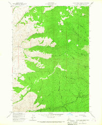
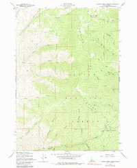
Editions of this 1957 Harris Creek Summit Map
3 editions found
Other maps of this area

1892 · Boise
USGS Topo · 1:125,000

1894 · Squaw Creek
USGS Topo · 1:125,000

1894 · Idaho Basin
USGS Topo · 1:125,000

1897 · Boise
USGS Topo · 1:125,000

1909 · Garden Valley
USGS Topo · 1:125,000

1953 · Banks
USGS Topo · 1:62,500

1955 · Baker
USGS Topo · 1:250,000

1955 · Hailey
USGS Topo · 1:250,000

1955 · Boise
USGS Topo · 1:250,000

1957 · Cartwright Canyon
USGS Topo · 1:24,000