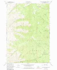
1957 Map of Harris Creek Summit
USGS Topo · Published 1983About this map
Boise National Forest provides the setting for this mid-century survey of Boise County, where mining and mountain topography define the landscape. The steep drainage basins of Harris Creek and its many tributaries, such as Bear Gulch and Appletree Gulch, dominate the southern half of the sheet. To the north and east, the terrain rises toward the Boise Ridge and the high point at Hawley Mtn, which features the VABM 7301 Lookout.
Find a feature on this map
30 named features on this map. Tap any name to fly to it.
Don’t see what you’re looking for? This feature index may not catch every label — zoom into the map to look around manually.
Map Details
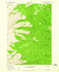
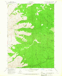
Editions of this 1957 Harris Creek Summit Map
3 editions found
Other maps of this area

1892 · Boise
USGS Topo · 1:125,000

1894 · Squaw Creek
USGS Topo · 1:125,000

1894 · Idaho Basin
USGS Topo · 1:125,000

1897 · Boise
USGS Topo · 1:125,000

1909 · Garden Valley
USGS Topo · 1:125,000

1953 · Banks
USGS Topo · 1:62,500

1955 · Baker
USGS Topo · 1:250,000

1955 · Hailey
USGS Topo · 1:250,000

1955 · Boise
USGS Topo · 1:250,000

1957 · Cartwright Canyon
USGS Topo · 1:24,000