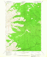
1957 Map of Harris Creek Summit
USGS Topo · Published 1967About this map
Boise National Forest contains the gold-mining heritage of the Boise County mountains, documented here during the late 1950s. The landscape is defined by the massive Boise Ridge and the prominent Hawley Mtn, which towers over a network of steep canyons and gulches. Mining activity is clearly evident along the eastern slopes, with the Belshazzar Mine and Mountain Chief Mine located near Harris Creek Summit.
Find a feature on this map
23 named features on this map. Tap any name to fly to it.
Don’t see what you’re looking for? This feature index may not catch every label — zoom into the map to look around manually.
Map Details
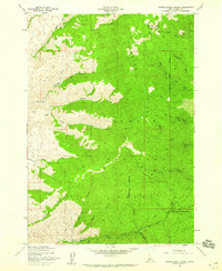
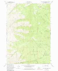
Editions of this 1957 Harris Creek Summit Map
3 editions found
Other maps of this area

1892 · Boise
USGS Topo · 1:125,000

1894 · Squaw Creek
USGS Topo · 1:125,000

1894 · Idaho Basin
USGS Topo · 1:125,000

1897 · Boise
USGS Topo · 1:125,000

1909 · Garden Valley
USGS Topo · 1:125,000

1953 · Banks
USGS Topo · 1:62,500

1955 · Baker
USGS Topo · 1:250,000

1955 · Hailey
USGS Topo · 1:250,000

1955 · Boise
USGS Topo · 1:250,000

1957 · Cartwright Canyon
USGS Topo · 1:24,000