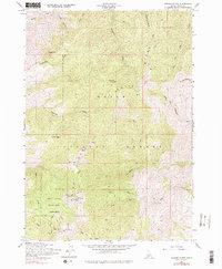
1957 Map of Shafer Butte
USGS Topo · Published 1979About this map
Shafer Butte and the surrounding high-altitude drainage systems of the Boise National Forest define this mid-century topographic record. The map illustrates the emerging recreation and telecommunications infrastructure north of Boise during the late 1950s, centering on the Bogus Basin State Park. The survey captures the early footprint of the winter sports area, specifically noting the Ski Tow and Bogus Basin Road. Prominent summits such as Mores Mtn and Deer Point are clearly marked, with the latter serving as a vital site for KBOI-TV and KIDO-TV Towers. Below the ridgelines, a complex network of gulches including Tartar Gulch and Postam Gulch feed into major watercourses like Harris Creek and Cottonwood Creek. Old travel routes like the Cartwright Trail and labels for the Lookout at the butte's peak provide essential context for local historians and land use researchers.
Find a feature on this map
34 named features on this map. Tap any name to fly to it.
Don’t see what you’re looking for? This feature index may not catch every label — zoom into the map to look around manually.
Map Details
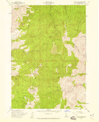
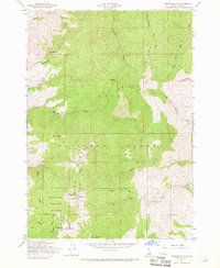
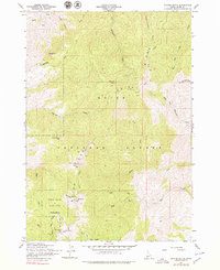
Editions of this 1957 Shafer Butte Map
4 editions found
Other maps of this area

1892 · Boise
USGS Topo · 1:125,000

1894 · Idaho Basin
USGS Topo · 1:125,000

1897 · Boise
USGS Topo · 1:125,000

1949 · Robie Creek
USGS Topo · 1:24,000

1954 · Boise North
USGS Topo · 1:24,000

1954 · Boise
USGS Topo · 1:62,500

1955 · Hailey
USGS Topo · 1:250,000

1955 · Boise
USGS Topo · 1:250,000

1957 · Cartwright Canyon
USGS Topo · 1:24,000

1957 · Horseshoe Bend
USGS Topo · 1:24,000