
1953 Map of Star
USGS Topo · Published 1955About this map
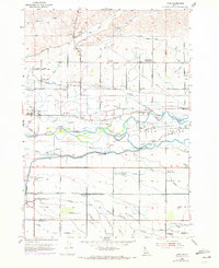
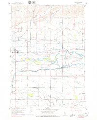
The town of Star and its surrounding agricultural basin are defined by a complex irrigation network and the shifting channels of the Boise River in this mid-century survey. The landscape is dominated by the massive Eagle Island, situated between the river's forks, which houses the Prison Farm and several critical water works like the Davis Canal. This era shows a community in transition, evidenced by several defunct rural institutions including Pleasant View Sch and Blue Valley School, while active centers like Fairview Church and the Lower Fairview School remain focal points for local families. The map provides an intricate look at the hydraulic engineering of the Boise Valley, from the large Phyllis Canal to family-named waterways such as the Mason Canal and Harton Canal, alongside landmarks like the Home of the Peace Cem and the Radio Range Station.
Find a feature on this map
55 named features on this map. Tap any name to fly to it.
Don’t see what you’re looking for? This feature index may not catch every label — zoom into the map to look around manually.
Map Details
Editions of this 1953 Star Map
Other maps of this area

1892 · Boise
USGS Topo · 1:125,000

1897 · Boise
USGS Topo · 1:125,000

1898 · Nampa
USGS Topo · 1:125,000

1953 · Eagle
USGS Topo · 1:24,000

1953 · Cloverdale
USGS Topo · 1:24,000

1953 · Meridian
USGS Topo · 1:24,000

1953 · Montour
USGS Topo · 1:62,500

1955 · Boise
USGS Topo · 1:250,000

1958 · Boise
USGS Topo · 1:250,000
1958 · Middleton
USGS Topo · 1:24,000