Old Maps of Meridian, Idaho
Explore 32 old maps of Meridian, spanning from 1892 to today. These high-resolution historic maps reveal how streets, neighborhoods, landmarks, and natural features evolved over time — perfect for genealogy, metal detecting, research, and local history exploration.
What you can do with these maps:
- See how Meridian changed over time: Compare historical maps to modern-day views to trace roads, homesites, rail lines & more.
- View detailed metadata: Each map includes creators, publishers, year, scale, and archive source.
- Overlay maps with satellite & LiDAR: Visualize the past alongside modern tools to explore terrain & human change.
- Trusted historical sources: Maps sourced from the USGS, Library of Congress, and other archives.
- Access maps your way: View online, download high-res files, or order prints for personal or research use.
Start exploring old maps of Meridian to uncover forgotten places, hidden landmarks, and the deep history beneath your feet.
Meridian, ID maps
(32)- 1892 Map of Boise
 1892 Boise1892 Print · USGSThe Boise Valley and surrounding highlands are shown here in the early 1890s as irrigation and railroads transformed the Idaho territory. Researchers can trace the early city grid near Boise Barracks and the paths of the Idaho Central Railroad and the Settlers Canal.
 - 1897 Map of Boise
 1897 Boise1897 Print · USGSBoise and the surrounding valley are captured here in the late nineteenth century as irrigation and rail networks began to reshape the high desert. Researchers can trace early water rights through the Settlers Canal or locate historic sites like the Boise Barracks and the Natatorium.4 unique versions available
 - 1953 Map of Eagle, 1955 Print
 1953 Eagle1955 Print · USGSThe Boise River valley in the early fifties shows a landscape of irrigation canals and early aviation. Genealogists can locate McMillan Chapel, Dry Creek Cem, and several schoolhouses like Green Meadows Sch.5 unique versions available
 - 1953 Map of Cloverdale, 1955 Print
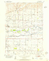
 1953 Cloverdale1955 Print · USGSAda County in the early fifties is shown here as a productive landscape of family farms and irrigation canals. Genealogists can trace rural life through numerous district schools like Hillsdale Sch and landmarks like the Tenmile Rodeo Grounds or Cloverdale Memorial Park.4 unique versions available
 - 1953 Map of Meridian, 1955 Print
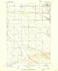
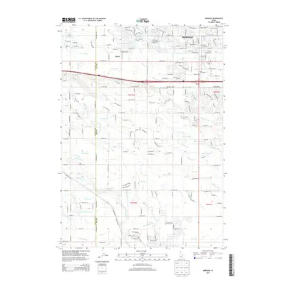
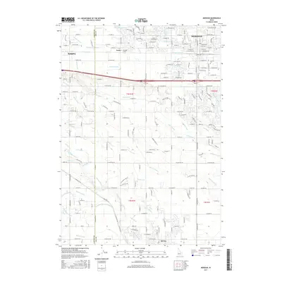
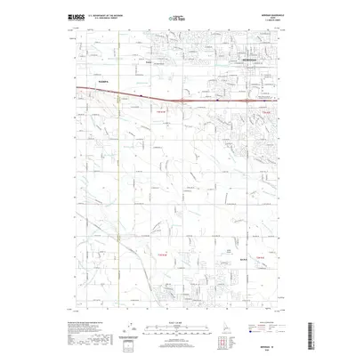
 1953 Meridian1955 Print · USGSThe town of Meridian serves as a hub for the Boise Valley's irrigation network in the early fifties. Local historians can trace the development of rural education and industry through landmarks like Columbia School, Amity Sch, and the Union Pacific Railroad.4 unique versions available
 - 1953 Map of Star, 1955 Print
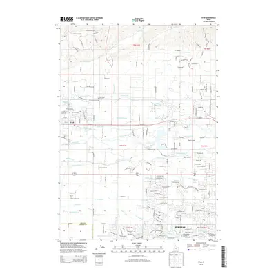
 1953 Star1955 Print · USGSNear the border of Ada and Canyon Counties in the early fifties, this map captures the intense irrigation culture of the Boise Valley. Genealogists can locate several rural schools and burial grounds including the Home of the Peace Cem and Lower Fairview School.3 unique versions available
 - 1955 Map of Boise, 1977 Print
 1955 Boise1977 Print · USGSThe Treasure Valley and Owyhee uplands are shown in detail during the mid-fifties, capturing the region's transition into a major agricultural and urban hub. Researchers can trace the Union Pacific line through Nampa, explore the volcanic Jordan Craters, or locate the historic mining district of Silver City.
 - 1958 Map of Boise
 1958 Boise1958 Print · USGSThe Treasure Valley and Snake River Plain come alive in the mid-fifties as the rail-and-river economy transitions into a modern agricultural hub. Trace the Union Pacific lines through Nampa or locate remote landmarks like Initial Point and the Rockville settlement.2 unique versions available
 - 1962 Map of Boise
 1962 Boise1962 Print · USGSThe Treasure Valley at the start of the sixties reveals a landscape of expanding towns and complex irrigation networks along the Snake River. Genealogists and historians can trace the foundations of modern Idaho through markers like Initial Point, the mining history of Silver City, and the early infrastructure of Lucky Peak Dam.
 - 1981 Map of Boise
 1981 Boise1981 Print · USGSThe Boise River valley and Treasure Plain are captured here in the early eighties as urban expansion began to link the regional hubs of the Snake River plain. Researchers can trace the development of Nampa, Caldwell, and Meridian or locate landmarks like Lake Lowell and Eagle Island State Park.2 unique versions available
 - 1998 Map of Cloverdale, 2002 Print
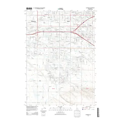
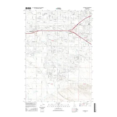
 1998 Cloverdale2002 Print · USGSThe Boise and Meridian borderlands come into focus during the late nineties as residential growth meets the valley's irrigation network. Genealogists and historians can locate Cloverdale Mem. Park (Cem) and legacy schools like Cole Sch and Locust Grove Sch.
 - 1998 Map of Eagle, 2002 Print
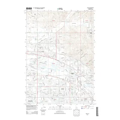
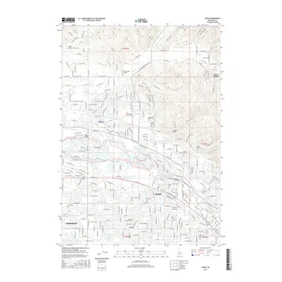
 1998 Eagle2002 Print · USGSThe Boise River valley is captured here in a period of transition as suburban expansion meets historic agriculture. Genealogists and historians can trace family-named sites like McMillan Chapel, find the Joplin Cem, and locate several abandoned schoolhouses.
 - 2010 Map of Cloverdale, 2010 Print
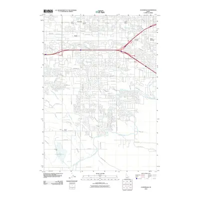 2010 Cloverdale2010 Print · USGSCovers Meridian, including Boise, Kuna, and other nearby areas
 - 2010 Map of Eagle, 2010 Print
 2010 Eagle2010 Print · USGSCovers Meridian, including Boise, Eagle, and other nearby areas
 - 2010 Map of Star, 2010 Print
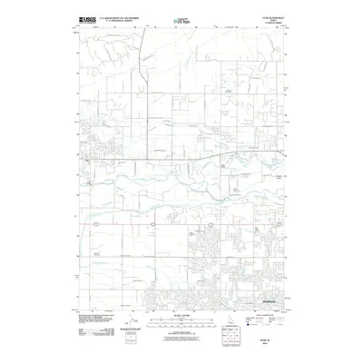 2010 Star2010 Print · USGSCovers Meridian, including Nampa, Eagle, and other nearby areas
 - 2010 Map of Meridian, 2010 Print
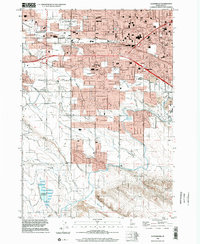
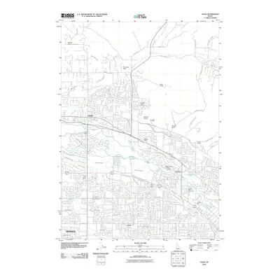
 2010 Meridian2010 Print · USGSCovers Meridian, including Nampa, Kuna, and other nearby areas
 - 2013 Map of Star, 2013 Print
 2013 Star2013 Print · USGSCovers Meridian, including Nampa, Eagle, and other nearby areas
 - 2013 Map of Meridian, 2013 Print
 2013 Meridian2013 Print · USGSCovers Meridian, including Nampa, Kuna, and other nearby areas
 - 2013 Map of Eagle, 2013 Print
 2013 Eagle2013 Print · USGSCovers Meridian, including Boise, Eagle, and other nearby areas
 - 2013 Map of Cloverdale, 2013 Print
 2013 Cloverdale2013 Print · USGSCovers Meridian, including Boise, Kuna, and other nearby areas
 - 2017 Map of Star, 2017 Print
 2017 Star2017 Print · USGSCovers Meridian, including Nampa, Eagle, and other nearby areas
 - 2017 Map of Meridian, 2017 Print
 2017 Meridian2017 Print · USGSCovers Meridian, including Nampa, Kuna, and other nearby areas
 - 2017 Map of Eagle, 2017 Print
 2017 Eagle2017 Print · USGSCovers Meridian, including Boise, Eagle, and other nearby areas
 - 2017 Map of Cloverdale, 2017 Print
 2017 Cloverdale2017 Print · USGSCovers Meridian, including Boise, Kuna, and other nearby areas
 - 2020 Map of Meridian, 2020 Print
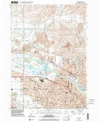
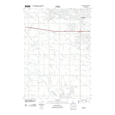
 2020 Meridian2020 Print · USGSCovers Meridian, including Nampa, Kuna, and other nearby areas
Showing maps 1-25 of 32
Top cities near Meridian
- Boise historical maps
- Nampa historical maps
- Caldwell historical maps
- Eagle historical maps
- Kuna historical maps
- Star historical maps
See more
Frequently asked questions
- What are the different types of historical maps available for Meridian?
- What is the oldest map of Meridian?
- Where can I purchase historical maps of Meridian for my home or office?
- Where can I download high-res historical maps of Meridian?
- Are there historical topographic maps available for Meridian?
- Is there historical aerial imagery available for Meridian?
- Where are historical maps of Meridian sourced from?