2020s Maps of Meridian, Idaho
Explore 8 historic maps of Meridian from the 2020s. These maps offer a rare glimpse into what life looked like during the 2020s — showing old roads, neighborhoods, homes, and landmarks that have changed or disappeared over time.
Whether you're researching your family's past, planning a metal detecting trip, or studying how Meridian's landscape evolved across the 2020s, these high-resolution maps are a powerful tool for exploring the history of this region.
- Focus on a specific era: All maps on this page are from the 2020s, giving you a focused view of this time period.
- See what’s changed: Compare century-old streets, trails, and buildings to today's modern landscape using overlays and satellite layers.
- Research with precision: Use these maps for genealogy, historical research, land use analysis, or educational projects.
- View, download, or print: Maps are fully viewable online in high resolution, and can be downloaded or printed for your own records.
Start exploring Meridian's history through authentic maps from the 2020s. This is your window into the past.
Meridian, ID maps
(8)- 2020 Map of Meridian, 2020 Print
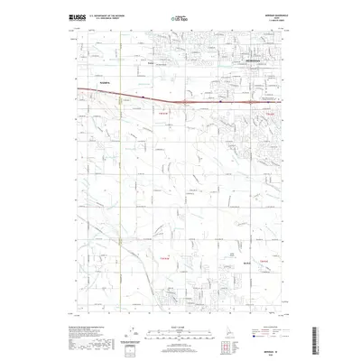 2020 Meridian2020 Print · USGSCovers Meridian, including Nampa, Kuna, and other nearby areas
 - 2020 Map of Cloverdale, 2020 Print
 2020 Cloverdale2020 Print · USGSCovers Meridian, including Boise, Kuna, and other nearby areas
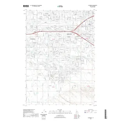
 - 2020 Map of Star, 2020 Print
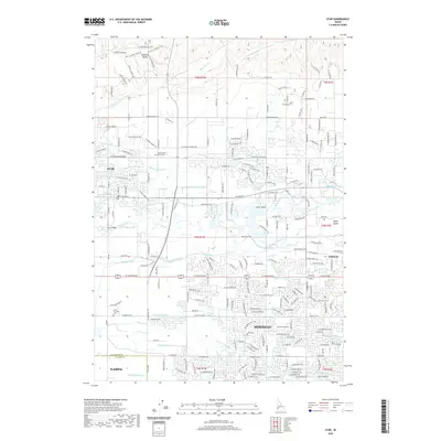 2020 Star2020 Print · USGSCovers Meridian, including Nampa, Eagle, and other nearby areas
 - 2020 Map of Eagle, 2020 Print
 2020 Eagle2020 Print · USGSCovers Meridian, including Boise, Eagle, and other nearby areas
 - 2024 Map of Cloverdale, 2024 Print
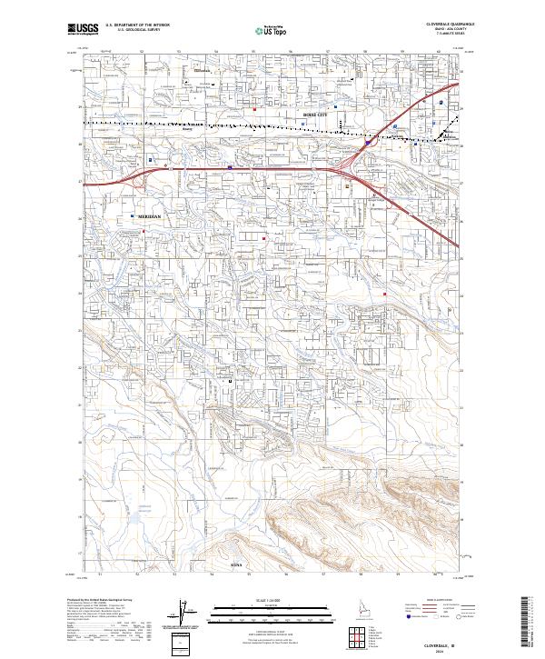 2024 Cloverdale2024 Print · USGSModern Boise and its neighboring towns of Meridian and Kuna are shown here in the mid-2020s, highlighting the region's rapid development. Genealogists and local historians can trace cemetery locations like Cloverdale Memorial Park and Terrace Lawn Cem or follow the historic path of the Ridenbaugh Canal.
 - 2024 Map of Star, 2024 Print
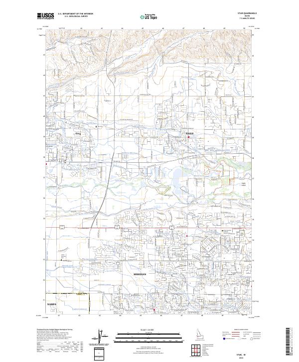 2024 Star2024 Print · USGSThe growing corridor between Star and Eagle is documented here during a period of significant suburban expansion and land-use change. Researchers can trace the historic irrigation network from the Boise River via the Middleton Canal and Phyllis Slough while locating local landmarks like Star Cem.
 - 2024 Map of Meridian, 2024 Print
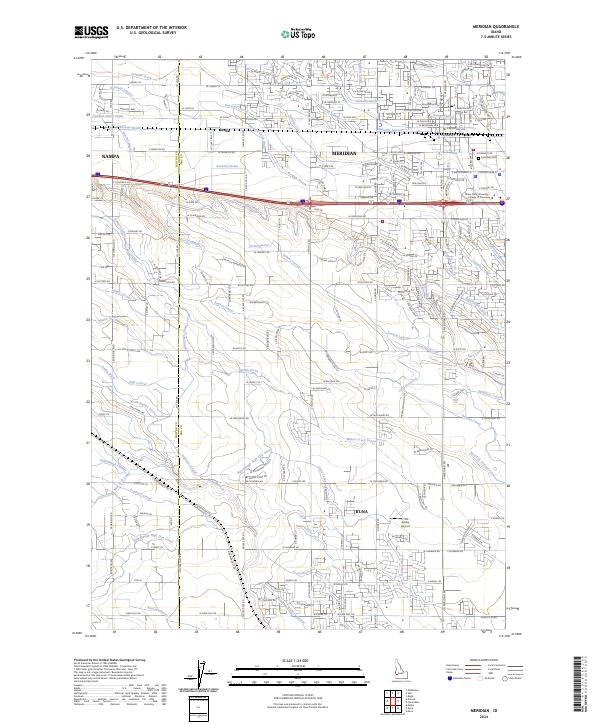 2024 Meridian2024 Print · USGSThe Treasure Valley's irrigation legacy and rapid expansion are visible in this recent look at the Meridian and Kuna area. Genealogists and researchers can trace local landmarks like Meridian Cem or the sprawling Ridenbaugh Canal system.
 - 2024 Map of Eagle, 2024 Print
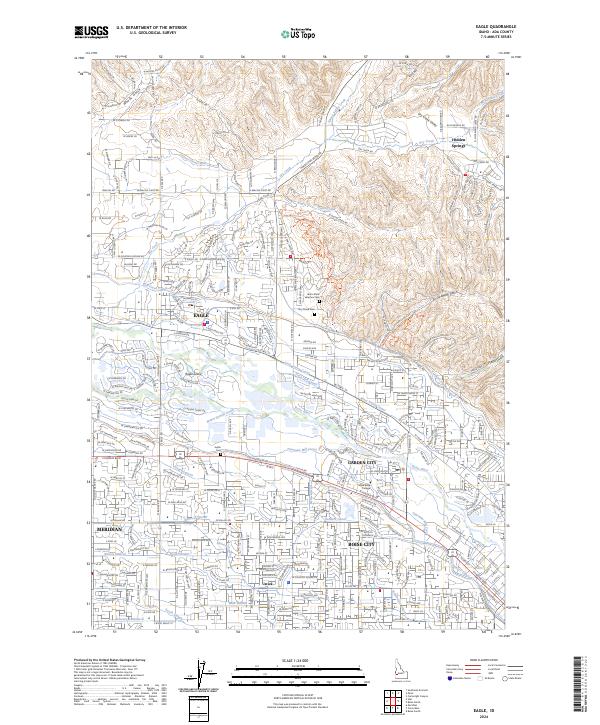 2024 Eagle2024 Print · USGSThe Treasure Valley at the foot of the Idaho hills reveals a landscape shaped by water and growth. Genealogists and local historians can trace the irrigation canals and early burial sites like Eagle Island Cem, Joplin Cem, and the community of Ustick.
End of results
Showing maps 1-8 of 8
Top cities near Meridian
- Boise historical maps
- Nampa historical maps
- Caldwell historical maps
- Eagle historical maps
- Kuna historical maps
- Star historical maps
See more
Frequently asked questions
- What are the different types of historical maps available for Meridian?
- What is the oldest map of Meridian?
- Where can I purchase historical maps of Meridian for my home or office?
- Where can I download high-res historical maps of Meridian?
- Are there historical topographic maps available for Meridian?
- Is there historical aerial imagery available for Meridian?
- Where are historical maps of Meridian sourced from?