2024 Map of Meridian
USGS Topo · Published 2024About this map
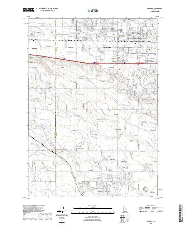
Meridian and Kuna anchor this portion of the Treasure Valley, where an intricate web of irrigation infrastructure defines the landscape. The elaborate network of waterways, including the Ridenbaugh Canal, Rawson Canal, and the Ridenbaugh High Line Canal, reveals the legacy of large-scale desert reclamation that transformed this region into a productive agricultural corridor. These man-made channels intersect natural drainages like Tenmile Creek and Ninemile Creek, creating a complex lattice that dictates the layout of local roads and property lines.
Find a feature on this map
62 named features on this map. Tap any name to fly to it.
Don’t see what you’re looking for? This feature index may not catch every label — zoom into the map to look around manually.
Map Details
Editions of this 2024 Meridian Map
This is the sole edition of this map. No revisions or reprints were ever made.