
1953 Map of Meridian
USGS Topo · Published 1955About this map
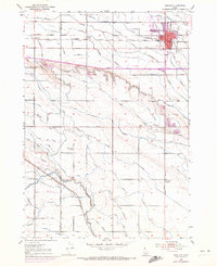
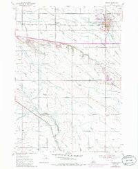
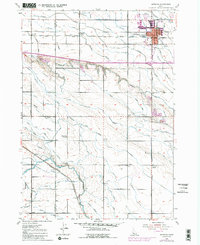
The Union Pacific Railroad cuts through the growing agricultural landscape of central Ada County, defining the early spatial layout of Meridian. This mid-century survey reveals a highly engineered environment where natural waterways like Indian Creek and Tenmile Creek are augmented by a dense lattice of irrigation canals, including the Ridenbaugh Canal and the New York Canal. These waterways supported the surrounding rural communities, visible here through local landmarks such as the Roosevelt School, High Line School, and the outlying settlement of Sonna.
Find a feature on this map
54 named features on this map. Tap any name to fly to it.
Don’t see what you’re looking for? This feature index may not catch every label — zoom into the map to look around manually.
Map Details
Editions of this 1953 Meridian Map
4 editions found
Other maps of this area

1892 · Boise
USGS Topo · 1:125,000

1892 · Bisuka
USGS Topo · 1:125,000

1892 · Silver City
USGS Topo · 1:125,000

1894 · Bisuka
USGS Topo · 1:125,000

1894 · Silver City
USGS Topo · 1:125,000

1897 · Boise
USGS Topo · 1:125,000

1898 · Nampa
USGS Topo · 1:125,000

1898 · Silver City
USGS Topo · 1:125,000

1953 · Eagle
USGS Topo · 1:24,000

1953 · Cloverdale
USGS Topo · 1:24,000