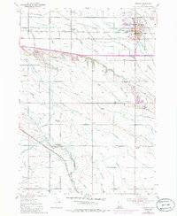
1953 Map of Meridian
USGS Topo · Published 1985About this map
Meridian stands as the central hub of this agricultural and rail landscape, situated along the Union Pacific Railroad. The surrounding Boise Valley terrain is meticulously organized by an extensive irrigation network of canals and laterals that support the farms near Sonna and across Benton Flat. This 1953 survey, updated with 1971 aerial data, captures the shift from a strictly rural community to an expanding township. Education and civic life are anchored by several local institutions, including Roosevelt School, Amity Sch, and Columbia School, which served the dispersed farming families of the era. The land is drained by a series of parallel watercourses, including Tenmile Creek, Eightmile Creek, and Indian Creek, while industrial activity is noted at scattered Gravel Pit locations. Modern infrastructure of the early 1970s begins to appear, such as the Radio Towers (KFXD) and the evolving footprint of the local High School.
Find a feature on this map
27 named features on this map. Tap any name to fly to it.
Don’t see what you’re looking for? This feature index may not catch every label — zoom into the map to look around manually.
Map Details
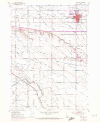
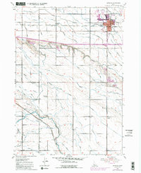
Editions of this 1953 Meridian Map
4 editions found

Other maps of this area

1892 · Boise
USGS Topo · 1:125,000

1892 · Bisuka
USGS Topo · 1:125,000

1892 · Silver City
USGS Topo · 1:125,000

1894 · Bisuka
USGS Topo · 1:125,000

1894 · Silver City
USGS Topo · 1:125,000

1897 · Boise
USGS Topo · 1:125,000

1898 · Nampa
USGS Topo · 1:125,000

1898 · Silver City
USGS Topo · 1:125,000

1953 · Eagle
USGS Topo · 1:24,000

1953 · Cloverdale
USGS Topo · 1:24,000