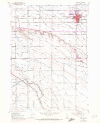
1953 Map of Meridian
USGS Topo · Published 1972About this map
Meridian and the surrounding agricultural lands of Ada and Canyon Counties are depicted during a period of significant post-war transition. The map captures the intricate water management system essential to the Treasure Valley, featuring the Ridenbaugh Canal, Settlers Canal, and High Line Canal that crisscross the landscape alongside Tenmile Creek and Indian Creek. Settlement patterns are defined by the Union Pacific railroad corridor, with the small community of Sonna located west of the main town center. Local civic life is anchored by numerous rural educational sites including Roosevelt School, High Line School, and Columbia School. Revisions from the early 1970s illustrate the early pulse of suburban expansion, shown as purple-tinted extensions of the urban area around the Fairgrounds and the High Sch, contrasting with the established irrigation-dependent farm plots of the mid-century.
Find a feature on this map
55 named features on this map. Tap any name to fly to it.
Don’t see what you’re looking for? This feature index may not catch every label — zoom into the map to look around manually.
Map Details
Editions of this 1953 Meridian Map
4 editions found

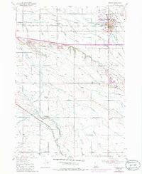
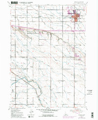
Other maps of this area

1892 · Boise
USGS Topo · 1:125,000

1892 · Bisuka
USGS Topo · 1:125,000

1892 · Silver City
USGS Topo · 1:125,000

1894 · Bisuka
USGS Topo · 1:125,000

1894 · Silver City
USGS Topo · 1:125,000

1897 · Boise
USGS Topo · 1:125,000

1898 · Nampa
USGS Topo · 1:125,000

1898 · Silver City
USGS Topo · 1:125,000

1953 · Eagle
USGS Topo · 1:24,000

1953 · Cloverdale
USGS Topo · 1:24,000