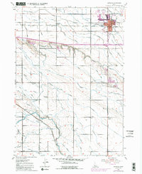
1953 Map of Meridian
USGS Topo · Published 1985About this map
Meridian stands as the primary hub in this detailed look at Idaho’s Treasure Valley, situated during a period of steady post-war expansion. The town is anchored by the Union Pacific Railroad and the Fairgrounds, with local civic life centered around several country schools including Roosevelt School, High Line School, and Columbia School. The landscape is a complex network of human-engineered water management, where the Settlers Canal and Ridenbaugh Canal divert water to sustain the surrounding agricultural acreage.
Find a feature on this map
44 named features on this map. Tap any name to fly to it.
Don’t see what you’re looking for? This feature index may not catch every label — zoom into the map to look around manually.
Map Details
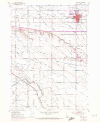
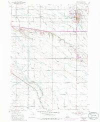
Editions of this 1953 Meridian Map
4 editions found

Other maps of this area

1892 · Boise
USGS Topo · 1:125,000

1892 · Bisuka
USGS Topo · 1:125,000

1892 · Silver City
USGS Topo · 1:125,000

1894 · Bisuka
USGS Topo · 1:125,000

1894 · Silver City
USGS Topo · 1:125,000

1897 · Boise
USGS Topo · 1:125,000

1898 · Nampa
USGS Topo · 1:125,000

1898 · Silver City
USGS Topo · 1:125,000

1953 · Eagle
USGS Topo · 1:24,000

1953 · Cloverdale
USGS Topo · 1:24,000