
1953 Map of Cloverdale
USGS Topo · Published 1955About this map
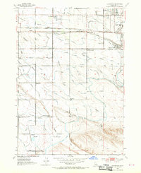
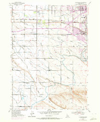
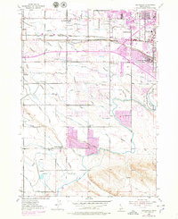
Agricultural development and water management define this portion of the Treasure Valley, where an intricate network of irrigation ditches like the Ridenbaugh Canal and Settlers Canal cross the landscape. These water systems, alongside the New York Canal, sustained the rural communities of Cloverdale and Perkins before the rapid suburban expansion from nearby Boise reached these fields. The map captures a moment when local life centered around rural institutions, such as the Fivemile Community Church and the Tenmile Rodeo Grounds.
Find a feature on this map
47 named features on this map. Tap any name to fly to it.
Don’t see what you’re looking for? This feature index may not catch every label — zoom into the map to look around manually.
Map Details
Editions of this 1953 Cloverdale Map
4 editions found
Other maps of this area

1892 · Boise
USGS Topo · 1:125,000

1892 · Bisuka
USGS Topo · 1:125,000

1894 · Bisuka
USGS Topo · 1:125,000

1897 · Boise
USGS Topo · 1:125,000

1953 · Eagle
USGS Topo · 1:24,000

1953 · Meridian
USGS Topo · 1:24,000

1953 · Star
USGS Topo · 1:24,000

1954 · Boise South
USGS Topo · 1:24,000

1954 · Boise North
USGS Topo · 1:24,000

1954 · Boise
USGS Topo · 1:62,500