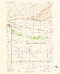
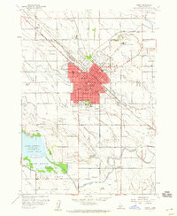
1958 Map of Middleton
USGS Topo · Published 1959About this map
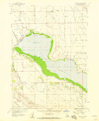
Middleton anchors a landscape defined by an intricate network of irrigation and water management in the late 1950s. The Boise River winds through the center of the sheet, flanked by protective Levees and flanked by industrial and agricultural landmarks like the Gravel Pit and Ward Mem State Park. This era shows a community heavily invested in rural education and local infrastructure, with the Central Park Sch, Marble Front School, and Franklin School serving as critical neighborhood hubs.
Find a feature on this map
41 named features on this map. Tap any name to fly to it.
Don’t see what you’re looking for? This feature index may not catch every label — zoom into the map to look around manually.
Map Details
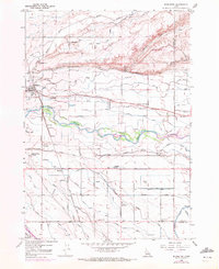
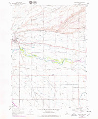
Editions of this 1958 Middleton Map
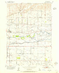
Other maps of this area

1892 · Boise
USGS Topo · 1:125,000

1897 · Boise
USGS Topo · 1:125,000

1898 · Nampa
USGS Topo · 1:125,000

1953 · Meridian
USGS Topo · 1:24,000
1953 · Star
USGS Topo · 1:24,000

1953 · Montour
USGS Topo · 1:62,500

1955 · Boise
USGS Topo · 1:250,000

1958 · Boise
USGS Topo · 1:250,000
1958 · Lake Lowell
USGS Topo · 1:24,000
1958 · Nampa
USGS Topo · 1:24,000