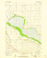
1958 Map of Lake Lowell
USGS Topo · Published 1959About this map
Lake Lowell dominates this Canyon County landscape, serving as the central reservoir for an intricate irrigation network that transformed the high desert of Lower Deer Flat. Managed as the Deer Flat National Wildlife Refuge, the shoreline is marked by early agricultural developments and water management infrastructure, including the Phyllis Canal, Deer Flat Canal, and numerous smaller laterals like the Stewart Lateral. The surrounding rural community is anchored by local institutions such as the Lake Lowell School, Maple Grove School, and the University of Idaho Agricultural Experimental Sta. Notable landmarks of the era include the Sage Acres Race Track and the curiously named Death Corner at the intersection of Karcher Road and Tenth Avenue. The map details a transition from developed farmland to the more varied topography of Upper Deer Flat, where a gaging station and several gravel pits supported local operations.
Find a feature on this map
78 named features on this map. Tap any name to fly to it.
Don’t see what you’re looking for? This feature index may not catch every label — zoom into the map to look around manually.
Map Details
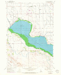
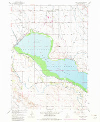
Editions of this 1958 Lake Lowell Map
3 editions found
Other maps of this area

1892 · Silver City
USGS Topo · 1:125,000

1894 · Silver City
USGS Topo · 1:125,000

1898 · Nampa
USGS Topo · 1:125,000

1898 · Silver City
USGS Topo · 1:125,000

1955 · Boise
USGS Topo · 1:250,000

1957 · Opalene Gulch
USGS Topo · 1:24,000

1957 · Sands Basin
USGS Topo · 1:62,500

1957 · Notus
USGS Topo · 1:24,000

1958 · Boise
USGS Topo · 1:250,000
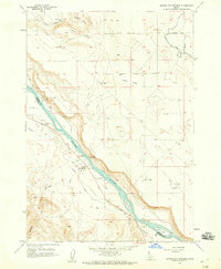
1958 · Givens Hot Springs
USGS Topo · 1:24,000