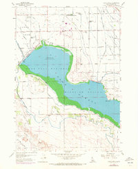
1958 Map of Lake Lowell
USGS Topo · Published 1972About this map
Deer Flat National Wildlife Refuge dominates this mid-century Idaho landscape, centered on the artificial waters of Lake Lowell. The intricate network of irrigation, featuring the Phyllis Canal, Caldwell Canal, and Mora Canal, reveals the transformation of the arid Deer Flat into productive farmland. The presence of the University of Idaho Agricultural Experimental Sta at Underkoflers Corner underscores this era's focus on scientific land management. Settlement patterns are marked by local landmarks like Maple Grove School and Lakeview School, while the unusually named Death Corner and the Sage Acres Race Track provide unique identifiers for local historians. Topographical details including the Upper Embankment and Lower Embankment illustrate the massive scale of the Bureau of Reclamation’s engineering efforts in the Boise Project.
Find a feature on this map
64 named features on this map. Tap any name to fly to it.
Don’t see what you’re looking for? This feature index may not catch every label — zoom into the map to look around manually.
Map Details
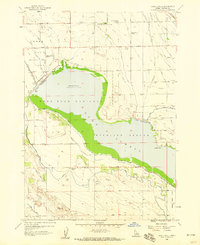
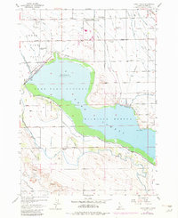
Editions of this 1958 Lake Lowell Map
3 editions found
Other maps of this area

1892 · Silver City
USGS Topo · 1:125,000

1894 · Silver City
USGS Topo · 1:125,000

1898 · Nampa
USGS Topo · 1:125,000

1898 · Silver City
USGS Topo · 1:125,000

1955 · Boise
USGS Topo · 1:250,000

1957 · Opalene Gulch
USGS Topo · 1:24,000

1957 · Sands Basin
USGS Topo · 1:62,500

1957 · Notus
USGS Topo · 1:24,000

1958 · Boise
USGS Topo · 1:250,000
1958 · Givens Hot Springs
USGS Topo · 1:24,000