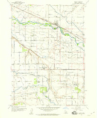
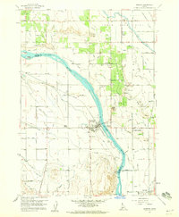
1957 Map of Notus
USGS Topo · Published 1960About this map
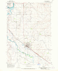
The Boise River winds through this Canyon County landscape, defining a region where intricate irrigation networks and the Union Pacific (Oregon Short Line) railroad supported a burgeoning agricultural economy in the late 1950s. The town of Notus serves as a central hub, while smaller rural nodes like Allendale and Doles mark the surrounding countryside. This survey captures the importance of local education and community life, documenting several rural institutions including Greenleaf Academy, Center Point School, and the Red Top Sch.
Find a feature on this map
63 named features on this map. Tap any name to fly to it.
Don’t see what you’re looking for? This feature index may not catch every label — zoom into the map to look around manually.
Map Details
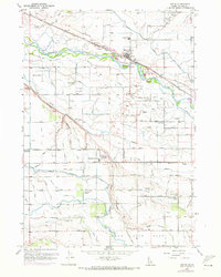
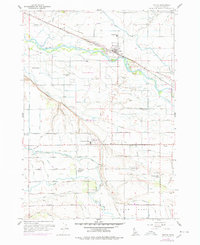
Editions of this 1957 Notus Map
3 editions found
Other maps of this area

1898 · Nampa
USGS Topo · 1:125,000

1955 · Boise
USGS Topo · 1:250,000
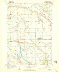
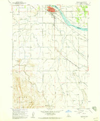
1957 · Wilder
USGS Topo · 1:24,000

1958 · Boise
USGS Topo · 1:250,000
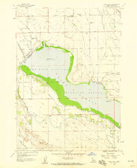
1958 · Lake Lowell
USGS Topo · 1:24,000
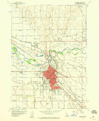
1958 · Caldwell
USGS Topo · 1:24,000
1958 · Homedale
USGS Topo · 1:24,000
1958 · Marsing
USGS Topo · 1:24,000

1962 · Boise
USGS Topo · 1:250,000
1965 · Parma
USGS Topo · 1:24,000