
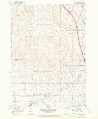
1957 Map of Wilder
USGS Topo · Published 1959About this map
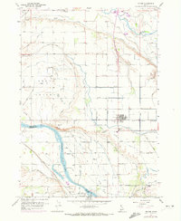
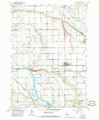
The confluence of the Boise River and the Snake River defines the landscape of western Idaho as it appeared in the late 1950s. This agricultural corridor is heavily engineered with an intricate network of irrigation, including the Golden Gate Canal, the Arena Valley Canal, and numerous specialized laterals such as the Plowhead Lateral and Vantress Lateral. These waterworks supported the growth of settlements like Wilder, where the Union Pacific railroad line intersects with local commerce near the Labor Camp. Genealogists will find significant detail in the locations of the Wilder Cemetery, Roswell Cemetery, and Fargo Cemetery. The map also captures the rural educational landscape at Arena Valley School and the community infrastructure of the Fairgrounds in Homedale. The presence of numerous siphons, flumes, and elevated canal sections illustrates the sophisticated water management required to transform this arid valley into productive farmland.
Find a feature on this map
68 named features on this map. Tap any name to fly to it.
Don’t see what you’re looking for? This feature index may not catch every label — zoom into the map to look around manually.
Map Details
Editions of this 1957 Wilder Map
3 editions found
Other maps of this area

1898 · Nampa
USGS Topo · 1:125,000

1906 · Mitchell Butte
USGS Topo · 1:125,000

1955 · Boise
USGS Topo · 1:250,000

1957 · Notus
USGS Topo · 1:24,000

1958 · Boise
USGS Topo · 1:250,000

1958 · Homedale
USGS Topo · 1:24,000
1958 · Marsing
USGS Topo · 1:24,000

1962 · Boise
USGS Topo · 1:250,000
1965 · Parma
USGS Topo · 1:24,000
1965 · Parma SE
USGS Topo · 1:24,000