Old Maps of Homedale, Idaho
Explore 17 old maps of Homedale, spanning from 1898 to today. These high-resolution historic maps reveal how streets, neighborhoods, landmarks, and natural features evolved over time — perfect for genealogy, metal detecting, research, and local history exploration.
What you can do with these maps:
- See how Homedale changed over time: Compare historical maps to modern-day views to trace roads, homesites, rail lines & more.
- View detailed metadata: Each map includes creators, publishers, year, scale, and archive source.
- Overlay maps with satellite & LiDAR: Visualize the past alongside modern tools to explore terrain & human change.
- Trusted historical sources: Maps sourced from the USGS, Library of Congress, and other archives.
- Access maps your way: View online, download high-res files, or order prints for personal or research use.
Start exploring old maps of Homedale to uncover forgotten places, hidden landmarks, and the deep history beneath your feet.
Homedale, ID maps
(17)- 1898 Map of Nampa
 1898 Nampa1898 Print · USGSThe Treasure Valley's transformation is visible in the 1890s as railroads and massive irrigation projects began to reshape the high desert. Researchers can trace the development of early rail lines like the Boise Nampa & Owyhee R. R. and early canals such as the Riverside Canal and Newman Canal.4 unique versions available
 - 1955 Map of Boise, 1977 Print
 1955 Boise1977 Print · USGSThe Treasure Valley and Owyhee uplands are shown in detail during the mid-fifties, capturing the region's transition into a major agricultural and urban hub. Researchers can trace the Union Pacific line through Nampa, explore the volcanic Jordan Craters, or locate the historic mining district of Silver City.
 - 1957 Map of Wilder, 1959 Print
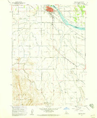
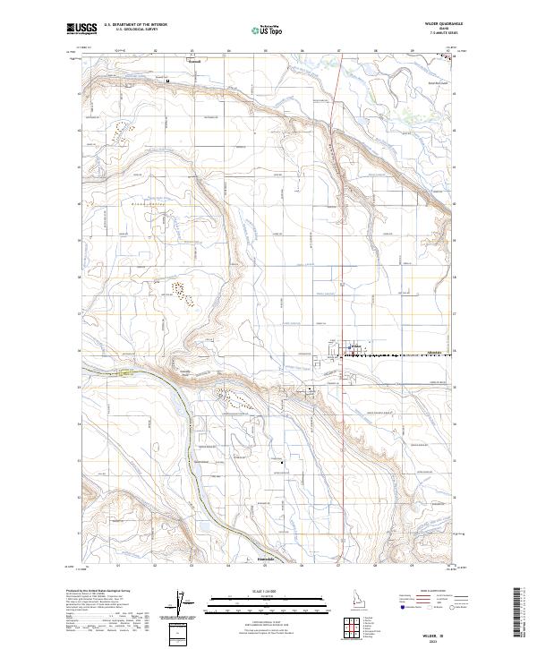
 1957 Wilder1959 Print · USGSIn the late 1950s, the western Idaho borderlands near Homedale were defined by a complex irrigation network of canals and laterals. Researchers can trace the Union Pacific line through Wilder or locate the Arena Valley School and Fargo Cemetery.3 unique versions available
 - 1958 Map of Boise
 1958 Boise1958 Print · USGSThe Treasure Valley and Snake River Plain come alive in the mid-fifties as the rail-and-river economy transitions into a modern agricultural hub. Trace the Union Pacific lines through Nampa or locate remote landmarks like Initial Point and the Rockville settlement.2 unique versions available
 - 1958 Map of Homedale, 1960 Print
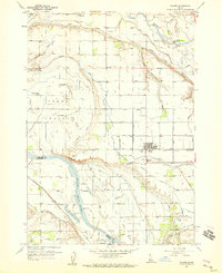
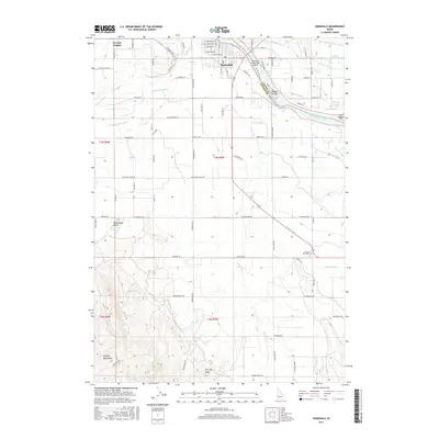
 1958 Homedale1960 Print · USGSHomedale and the Snake River valley come to life in the late fifties, showing a landscape defined by intensive irrigation and river transport. Genealogists and local historians can trace the Union Pacific rail corridor, the Labor Camp, and the Poison Creek Stage Sta.2 unique versions available
 - 1962 Map of Boise
 1962 Boise1962 Print · USGSThe Treasure Valley at the start of the sixties reveals a landscape of expanding towns and complex irrigation networks along the Snake River. Genealogists and historians can trace the foundations of modern Idaho through markers like Initial Point, the mining history of Silver City, and the early infrastructure of Lucky Peak Dam.
 - 1981 Map of Boise
 1981 Boise1981 Print · USGSThe Boise River valley and Treasure Plain are captured here in the early eighties as urban expansion began to link the regional hubs of the Snake River plain. Researchers can trace the development of Nampa, Caldwell, and Meridian or locate landmarks like Lake Lowell and Eagle Island State Park.2 unique versions available
 - 2010 Map of Wilder, 2010 Print
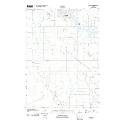
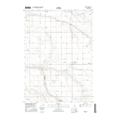
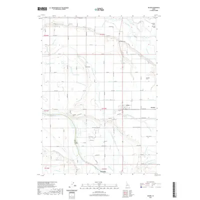
 2010 Wilder2010 Print · USGSCovers Homedale, including Wilder, Roswell, and other nearby areas
 - 2010 Map of Homedale, 2010 Print
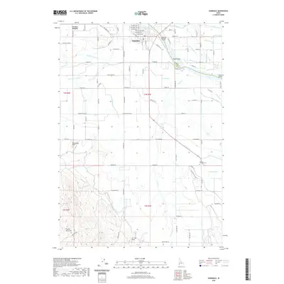
 2010 Homedale2010 Print · USGSCovers Homedale, including Canyon County, Owyhee County, and other nearby areas
 - 2013 Map of Homedale, 2013 Print
 2013 Homedale2013 Print · USGSCovers Homedale, including Canyon County, Owyhee County, and other nearby areas
 - 2013 Map of Wilder, 2013 Print
 2013 Wilder2013 Print · USGSCovers Homedale, including Wilder, Roswell, and other nearby areas
 - 2017 Map of Wilder, 2017 Print
 2017 Wilder2017 Print · USGSCovers Homedale, including Wilder, Roswell, and other nearby areas
 - 2017 Map of Homedale, 2017 Print
 2017 Homedale2017 Print · USGSCovers Homedale, including Canyon County, Owyhee County, and other nearby areas
 - 2020 Map of Wilder, 2020 Print
 2020 Wilder2020 Print · USGSCovers Homedale, including Wilder, Roswell, and other nearby areas
 - 2020 Map of Homedale, 2020 Print
 2020 Homedale2020 Print · USGSCovers Homedale, including Canyon County, Owyhee County, and other nearby areas
 - 2023 Map of Wilder, 2023 Print
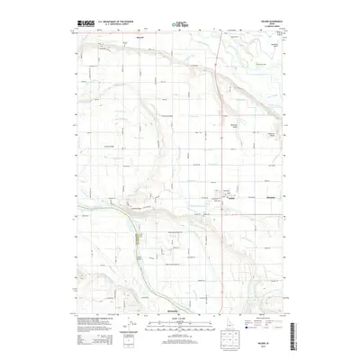
 2023 Wilder2023 Print · USGSCanyon County agriculture thrives along the Snake River in this recent survey of the Idaho-Oregon borderlands. Researchers can trace the extensive irrigation network including the Riverside Canal and Golden Gate Canal, alongside local landmarks like Roswell Cem and the town of Wilder.
 - 2024 Map of Homedale, 2024 Print
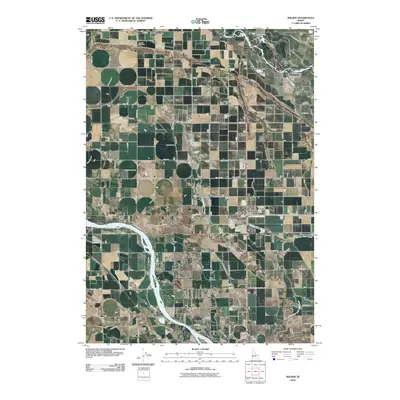
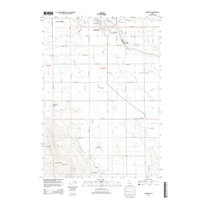
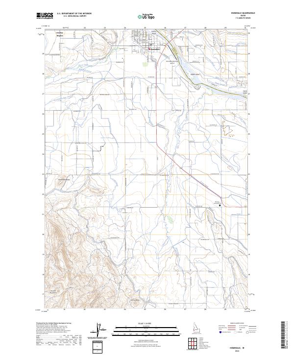 2024 Homedale2024 Print · USGSHomedale and the Owyhee river valley are captured here in the early twenty-first century, showcasing a landscape defined by desert irrigation and the Snake River. Researchers can trace land use near Homedale and identify local landmarks like the Marsing - Homedale Cem and Rattlesnake Butte.
End of results
Showing maps 1-17 of 17
Top cities near Homedale
- Caldwell historical maps
- Parma historical maps
- Wilder historical maps
- Marsing historical maps
- Greenleaf historical maps
- Notus historical maps
See more
Frequently asked questions
- What are the different types of historical maps available for Homedale?
- What is the oldest map of Homedale?
- Where can I purchase historical maps of Homedale for my home or office?
- Where can I download high-res historical maps of Homedale?
- Are there historical topographic maps available for Homedale?
- Is there historical aerial imagery available for Homedale?
- Where are historical maps of Homedale sourced from?