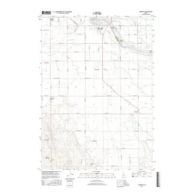
2017 Map of Homedale
USGS Topo · Published 2017About this map
The Snake River carves a path through the Idaho-Oregon borderlands, defining the northern geography of this Owyhee County terrain. The city of Homedale sits at a strategic crossing, surrounded by a complex network of irrigation infrastructure including the Town Ditch, Patch Canal, and the Deer Flat Low Line Canal. These engineered waterways support the agriculture that sustains the region, contrasting with the dry, rising elevations to the south and west.
Find a feature on this map
99 named features on this map. Tap any name to fly to it.
Don’t see what you’re looking for? This feature index may not catch every label — zoom into the map to look around manually.
Map Details
Editions of this 2017 Homedale Map
This is the sole edition of this map. No revisions or reprints were ever made.
Other maps of this area

1892 · Silver City
USGS Topo · 1:125,000

1894 · Silver City
USGS Topo · 1:125,000

1898 · Nampa
USGS Topo · 1:125,000

1898 · Silver City
USGS Topo · 1:125,000

1906 · Mitchell Butte
USGS Topo · 1:125,000

1955 · Boise
USGS Topo · 1:250,000

1957 · Opalene Gulch
USGS Topo · 1:24,000

1957 · Wilder
USGS Topo · 1:24,000

1957 · Sands Basin
USGS Topo · 1:62,500

1957 · Notus
USGS Topo · 1:24,000