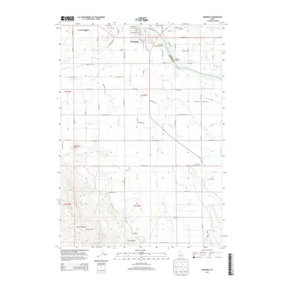
2013 Map of Homedale
USGS Topo · Published 2013About this map
The Snake River defines the landscape of this region, separating Canyon Co from Owyhee Co while providing the vital water source for a complex network of agricultural irrigation. The town of Homedale sits at the river's bend, serving as a hub for the surrounding fields fed by the South Canal, B Line Canal, and A Line Canal. This 2013 survey illustrates the intensive engineering of the desert, where named waterways like the McDowell Lateral, Murphy Drain, and Watson Lateral have transformed the arid plains into productive farmland.
Find a feature on this map
96 named features on this map. Tap any name to fly to it.
Don’t see what you’re looking for? This feature index may not catch every label — zoom into the map to look around manually.
Map Details
Editions of this 2013 Homedale Map
This is the sole edition of this map. No revisions or reprints were ever made.
Other maps of this area

1892 · Silver City
USGS Topo · 1:125,000

1894 · Silver City
USGS Topo · 1:125,000

1898 · Nampa
USGS Topo · 1:125,000

1898 · Silver City
USGS Topo · 1:125,000

1906 · Mitchell Butte
USGS Topo · 1:125,000

1955 · Boise
USGS Topo · 1:250,000

1957 · Opalene Gulch
USGS Topo · 1:24,000

1957 · Wilder
USGS Topo · 1:24,000

1957 · Sands Basin
USGS Topo · 1:62,500

1957 · Notus
USGS Topo · 1:24,000