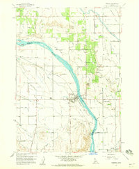
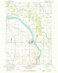
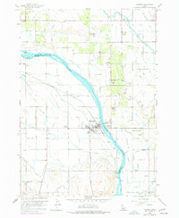
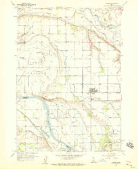
1958 Map of Marsing
USGS Topo · Published 1960About this map
The Snake River bisects this Idaho landscape, marking the border between Canyon and Owyhee counties in the late 1950s. The town of Marsing serves as a central hub, flanked by an intricate network of irrigation systems like the Lizard Lateral, Sunnyside Lateral, and Penninger Lateral that support the surrounding agricultural flats. This survey reveals a community anchored by local landmarks such as the Huston School, Edson School, and the Community Church near Riverside. Transportation and industry are prominent, with the Pacific Union Line railroad running through Claytonia and specialized sites including the Symms Airport and a designated Labor Camp. Geographic markers like Lizard Butte and Pickle Butte rise above the river valley, while the presence of several Gravel Pits and a Cinder Pit indicates the local extraction of geological resources during this era of development.
Find a feature on this map
51 named features on this map. Tap any name to fly to it.
Don’t see what you’re looking for? This feature index may not catch every label — zoom into the map to look around manually.
Map Details
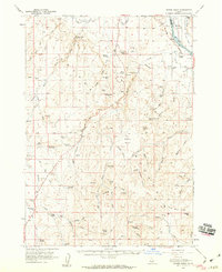
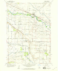
Editions of this 1958 Marsing Map
3 editions found
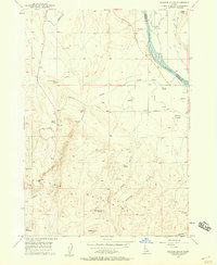
Other maps of this area

1892 · Silver City
USGS Topo · 1:125,000

1894 · Silver City
USGS Topo · 1:125,000

1898 · Nampa
USGS Topo · 1:125,000

1898 · Silver City
USGS Topo · 1:125,000

1955 · Boise
USGS Topo · 1:250,000
1957 · Opalene Gulch
USGS Topo · 1:24,000
1957 · Wilder
USGS Topo · 1:24,000
1957 · Sands Basin
USGS Topo · 1:62,500
1957 · Notus
USGS Topo · 1:24,000

1958 · Boise
USGS Topo · 1:250,000