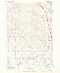
1965 Map of Parma SE
USGS Topo · Published 1967About this map
The irrigation network of the Payette and Canyon County border area defines this mid-1960s landscape, where complex water engineering supports high-desert agriculture. The Black Canyon Canal and its associated Aqueduct dominate the eastern terrain, feeding a web of local distributaries including the Farmers Cooperative Canal and the Sebree Canal. This reliance on managed water is evident in the transition from the dry Homestead Gulch in the north to the cultivated fields of the south.
Find a feature on this map
24 named features on this map. Tap any name to fly to it.
Don’t see what you’re looking for? This feature index may not catch every label — zoom into the map to look around manually.
Map Details
Editions of this 1965 Parma SE Map
2 editions found
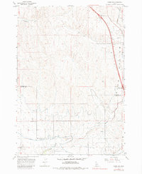
Other maps of this area

1898 · Nampa
USGS Topo · 1:125,000

1955 · Boise
USGS Topo · 1:250,000

1957 · Wilder
USGS Topo · 1:24,000

1957 · Notus
USGS Topo · 1:24,000

1958 · Boise
USGS Topo · 1:250,000
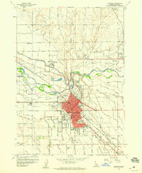
1958 · Caldwell
USGS Topo · 1:24,000

1962 · Boise
USGS Topo · 1:250,000
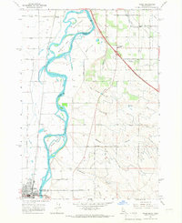
1965 · Nyssa
USGS Topo · 1:24,000
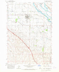
1965 · New Plymouth
USGS Topo · 1:24,000
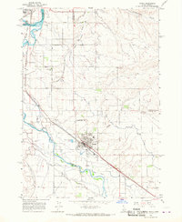
1965 · Parma
USGS Topo · 1:24,000