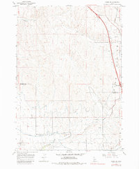
1965 Map of Parma SE
USGS Topo · Published 1984About this map
Black Canyon Canal and a complex network of waterways define this high-desert agricultural landscape along the border of Payette and Canyon counties during the mid-1960s. The map illustrates a highly engineered irrigation system, including the D-Line Canal, Sebree Canal, and the Farmers Cooperative Canal, which transformed the arid Sand Hollow region into productive farmland. Settlement is sparse and primarily tied to the agricultural grid, centered on the junction at Rookstool Corner and the path of Market Road. The northern portion of the quadrangle is marked by the natural drainages of Homestead Gulch, while the southern reaches are bisected by Sand Hollow Creek and Conway Gulch. The introduction of the 80n interstate corridor, featuring the Black Canyon Interchange, signals the transition toward modern transportation infrastructure in this rural Idaho territory.
Find a feature on this map
15 named features on this map. Tap any name to fly to it.
Don’t see what you’re looking for? This feature index may not catch every label — zoom into the map to look around manually.
Map Details
Editions of this 1965 Parma SE Map
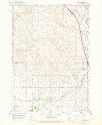
2 editions found
Other maps of this area

1898 · Nampa
USGS Topo · 1:125,000

1955 · Boise
USGS Topo · 1:250,000

1957 · Wilder
USGS Topo · 1:24,000

1957 · Notus
USGS Topo · 1:24,000

1958 · Boise
USGS Topo · 1:250,000
1958 · Caldwell
USGS Topo · 1:24,000

1962 · Boise
USGS Topo · 1:250,000
1965 · Nyssa
USGS Topo · 1:24,000
1965 · New Plymouth
USGS Topo · 1:24,000
1965 · Parma
USGS Topo · 1:24,000