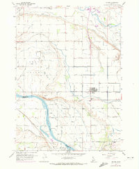
1957 Map of Wilder
USGS Topo · Published 1972About this map
The Snake River and Boise River converge in this agricultural landscape of western Idaho, defined by an intricate network of irrigation systems and early settlements. The town of Wilder serves as a hub for the region, supported by the Union Pacific railroad and surrounded by productive lands fed by the Golden Gate Canal and Arena Canal. Researchers will find significant genealogical markers across the territory, including the Roswell Cemetery, Wilder Cemetery, and Fargo Cemetery. South of Wilder, the landscape transitions toward the Canyon and Owyhee County boundary at the river's edge, where Gravelly Point and Heltons Island mark the waterway. ThePresence of a Labor Camp and the County Fairgrounds near Homedale reflects the social and economic infrastructure of this farming valley during the mid-20th century.
Find a feature on this map
64 named features on this map. Tap any name to fly to it.
Don’t see what you’re looking for? This feature index may not catch every label — zoom into the map to look around manually.
Map Details
Editions of this 1957 Wilder Map
3 editions found
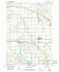
Other maps of this area

1898 · Nampa
USGS Topo · 1:125,000

1906 · Mitchell Butte
USGS Topo · 1:125,000

1955 · Boise
USGS Topo · 1:250,000

1957 · Wilder
USGS Topo · 1:24,000

1957 · Notus
USGS Topo · 1:24,000

1958 · Boise
USGS Topo · 1:250,000

1958 · Homedale
USGS Topo · 1:24,000
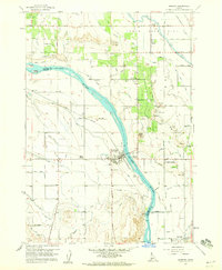
1958 · Marsing
USGS Topo · 1:24,000

1962 · Boise
USGS Topo · 1:250,000
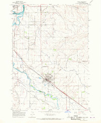
1965 · Parma
USGS Topo · 1:24,000