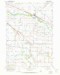
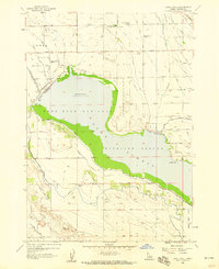
1957 Map of Notus
USGS Topo · Published 1972About this map
The Boise River dominates this landscape in Canyon County, Idaho, where a complex network of irrigation canals and drains transformed the arid terrain into a productive agricultural valley. The Union Pacific (Oregon Short Line) Railroad serves as the primary artery for the town of Notus, while the surrounding countryside is defined by early 20th-century social hubs like the Pleasant Ridge Grange and local educational institutions including the Greenleaf Academy.
Find a feature on this map
61 named features on this map. Tap any name to fly to it.
Don’t see what you’re looking for? This feature index may not catch every label — zoom into the map to look around manually.
Map Details
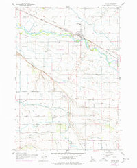
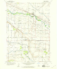
Editions of this 1957 Notus Map
3 editions found
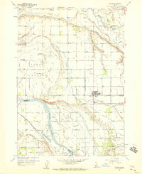
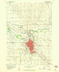
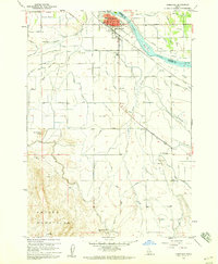
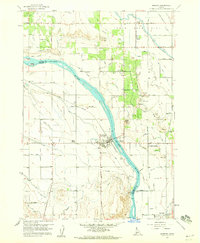
Other maps of this area

1898 · Nampa
USGS Topo · 1:125,000

1955 · Boise
USGS Topo · 1:250,000
1957 · Wilder
USGS Topo · 1:24,000
1957 · Notus
USGS Topo · 1:24,000

1958 · Boise
USGS Topo · 1:250,000
1958 · Lake Lowell
USGS Topo · 1:24,000
1958 · Caldwell
USGS Topo · 1:24,000
1958 · Homedale
USGS Topo · 1:24,000
1958 · Marsing
USGS Topo · 1:24,000

1962 · Boise
USGS Topo · 1:250,000