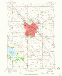
1958 Map of Nampa
USGS Topo · Published 1960About this map
Nampa serves as a major hub for the Idaho agricultural landscape in the late 1950s, defined by the extensive irrigation network including the Phyllis Canal, New York Canal, and Ridenbaugh Canal. The city's growth is anchored by institutions like Northwest Nazarene College and the Nampa State School, while the local economy is evidenced by the Sugar Factory and its associated Sugar Factory Camp. The Union Pacific railroad corridor cuts through the center of town, connecting industrial points to the surrounding Boise Valley. To the southwest, the landscape opens into the Deer Flat National Wildlife Refuge at Lake Lowell, providing a stark contrast to the dense grid of schools and churches in the urban core. Local landmarks such as Ritchey Field and the Drive-in Theater near Karcher Junction reflect the mid-century social character of the region.
Find a feature on this map
81 named features on this map. Tap any name to fly to it.
Don’t see what you’re looking for? This feature index may not catch every label — zoom into the map to look around manually.
Map Details
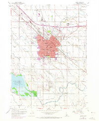
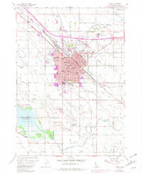
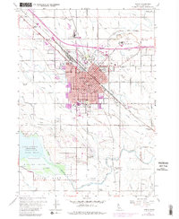
Editions of this 1958 Nampa Map
4 editions found
Other maps of this area

1892 · Boise
USGS Topo · 1:125,000

1892 · Bisuka
USGS Topo · 1:125,000

1892 · Silver City
USGS Topo · 1:125,000

1894 · Bisuka
USGS Topo · 1:125,000

1894 · Silver City
USGS Topo · 1:125,000

1897 · Boise
USGS Topo · 1:125,000

1898 · Nampa
USGS Topo · 1:125,000

1898 · Silver City
USGS Topo · 1:125,000

1953 · Meridian
USGS Topo · 1:24,000

1953 · Star
USGS Topo · 1:24,000