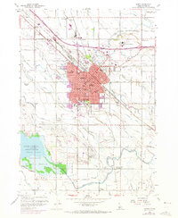
1958 Map of Nampa
USGS Topo · Published 1973About this map
The Union Pacific railroad corridor anchors the growing city of Nampa in this 1958 survey, updated with purple revisions showing urban expansion through the early 1970s. This period of growth is reflected in a dense concentration of local institutions, from Northwest Nazarene College to the Nampa State School and numerous neighborhood facilities like East Side School and Mt Calvary Cem. The city's industrial roots are visible at the Sugar Factory and its nearby Sugar Factory Camp, while the surrounding landscape is defined by an intricate network of irrigation including the Phyllis Canal, New York Canal, and Ridenbaugh Canal. To the southwest, the expansive waters of Lake Lowell and the Deer Flat National Wildlife Refuge provide a stark contrast to the grid-patterned agricultural and residential development of Canyon County.
Find a feature on this map
69 named features on this map. Tap any name to fly to it.
Don’t see what you’re looking for? This feature index may not catch every label — zoom into the map to look around manually.
Map Details
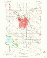
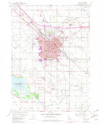
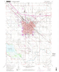
Editions of this 1958 Nampa Map
4 editions found
Other maps of this area

1892 · Boise
USGS Topo · 1:125,000

1892 · Bisuka
USGS Topo · 1:125,000

1892 · Silver City
USGS Topo · 1:125,000

1894 · Bisuka
USGS Topo · 1:125,000

1894 · Silver City
USGS Topo · 1:125,000

1897 · Boise
USGS Topo · 1:125,000

1898 · Nampa
USGS Topo · 1:125,000

1898 · Silver City
USGS Topo · 1:125,000

1953 · Meridian
USGS Topo · 1:24,000

1953 · Star
USGS Topo · 1:24,000