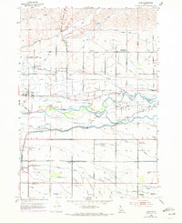
1953 Map of Star
USGS Topo · Published 1972About this map
The Boise River splits into multiple channels to form Eagle Island in this detailed survey of central Ada County. The landscape is defined by an intricate network of irrigation, featuring the Farmers Union Canal, Middleton Canal, and the Phyllis Canal, which support the agricultural development surrounding the town of Star. Local educational history is particularly visible through several listed school sites, including the Lower Fairview School and multiple facilities noted as abandoned, such as the Upper Fairview School and Blue Valley School. Institutional land use is also prominent at the Prison Farm located on the island. Genealogists may find interest in the documented locations of the Fairview Cemetery and the Home of the Peace Cem, while landmarks like the Radio Range Station reflect the mid-century infrastructure of the region.
Find a feature on this map
55 named features on this map. Tap any name to fly to it.
Don’t see what you’re looking for? This feature index may not catch every label — zoom into the map to look around manually.
Map Details
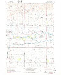
Editions of this 1953 Star Map
Other maps of this area

1892 · Boise
USGS Topo · 1:125,000

1897 · Boise
USGS Topo · 1:125,000

1898 · Nampa
USGS Topo · 1:125,000

1953 · Eagle
USGS Topo · 1:24,000

1953 · Cloverdale
USGS Topo · 1:24,000

1953 · Meridian
USGS Topo · 1:24,000

1953 · Star
USGS Topo · 1:24,000

1953 · Montour
USGS Topo · 1:62,500

1955 · Boise
USGS Topo · 1:250,000

1958 · Boise
USGS Topo · 1:250,000