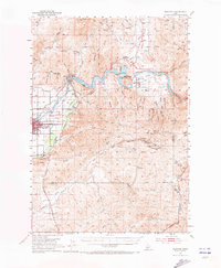
1953 Map of Montour
USGS Topo · Published 1973About this map
The Payette River serves as the industrial and logistical spine of this Idaho landscape, dominated by the engineering of the Black Canyon Dam and its resulting Black Canyon Reservoir. In the valley to the west, the city of Emmett is shown as a developed hub of the era, supported by the Union Pacific railroad and the Pacific Highway. The presence of the High Sch and Lincoln School reflects a growing agricultural and transit center during the early 1950s.
Find a feature on this map
64 named features on this map. Tap any name to fly to it.
Don’t see what you’re looking for? This feature index may not catch every label — zoom into the map to look around manually.
Map Details
Editions of this 1953 Montour Map
3 editions found
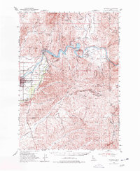
Other maps of this area

1892 · Boise
USGS Topo · 1:125,000

1894 · Squaw Creek
USGS Topo · 1:125,000

1897 · Boise
USGS Topo · 1:125,000

1897 · Weiser
USGS Topo · 1:125,000

1898 · Nampa
USGS Topo · 1:125,000

1953 · Eagle
USGS Topo · 1:24,000

1953 · Banks
USGS Topo · 1:62,500

1953 · Star
USGS Topo · 1:24,000

1953 · Montour
USGS Topo · 1:62,500

1954 · Boise North
USGS Topo · 1:24,000