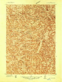
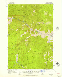
1937 Map of Big Creek
USGS Topo · Published 1937About this map
Mining operations and high-altitude backcountry camps define this Idaho territory during the late 1930s. The landscape is a hub of extraction and remote habitation, centered on the Edwardsburg settlement and the nearby Big Creek community. Prominent lode claims like the Golden Hand Mine, Independence Mine, and Werdenhof Mine are scattered across the peaks and basins, often accessed only by the Middle Trail or similar paths.
Find a feature on this map
58 named features on this map. Tap any name to fly to it.
Don’t see what you’re looking for? This feature index may not catch every label — zoom into the map to look around manually.
Map Details
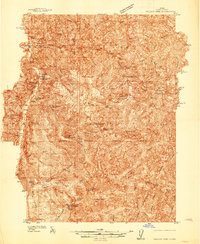
Editions of this 1937 Big Creek Map
2 editions found
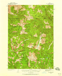
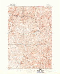
Other maps of this area
1937 · Yellow Pine
USGS Topo · 1:48,000

1942 · Big Creek
USGS Topo · 1:62,500
1943 · Yellow Pine
USGS Topo · 1:62,500
1956 · Warren
USGS Topo · 1:62,500

1956 · Elk City
USGS Topo · 1:250,000

1957 · Challis
USGS Topo · 1:250,000

1960 · Elk City
USGS Topo · 1:250,000

1960 · Challis
USGS Topo · 1:250,000

1963 · Challis
USGS Topo · 1:250,000
1969 · Edwardsburg
USGS Topo · 1:24,000