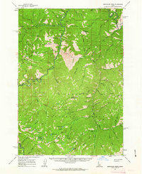
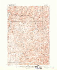
1961 Map of Greyhound Ridge
USGS Topo · Published 1963About this map
The Middle Fork Salmon River carves through the center of this high-elevation mountain territory during the early 1960s, marking the boundary between the Boise National Forest and the Challis National Forest. The landscape is defined by the legacy of early 20th-century mining, with operations such as the Greyhound Mine, Seafoam Mine, and Silverbell Mine situated near the headwaters of Seafoam Creek. Access to these remote interior regions was facilitated by the Pistol Creek Ranch Airstrip and the Thomas Creek Sta Landing Field, highlighting the critical role of aviation in maintaining mountain outposts. Federal oversight is evident through the placement of the Middle Fork Guard Sta and Seafoam Guard Sta. For those tracing local history, the map provides precise locations for Sheepeater Hot Springs and high-altitude vantage points like the Greyhound Mtn Lookout.
Find a feature on this map
119 named features on this map. Tap any name to fly to it.
Don’t see what you’re looking for? This feature index may not catch every label — zoom into the map to look around manually.
Map Details
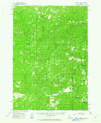
Editions of this 1961 Greyhound Ridge Map
2 editions found
Other maps of this area

1891 · Bear Valley
USGS Topo · 1:125,000

1893 · Bear Valley
USGS Topo · 1:125,000

1919 · Custer
USGS Topo · 1:125,000

1922 · Custer
USGS Topo · 1:125,000
1930 · Casto
USGS Topo · 1:125,000
1937 · Yellow Pine
USGS Topo · 1:48,000
1943 · Yellow Pine
USGS Topo · 1:62,500

1957 · Challis
USGS Topo · 1:250,000

1960 · Challis
USGS Topo · 1:250,000
1961 · Chinook Mtn
USGS Topo · 1:62,500