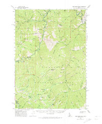
1961 Map of Greyhound Ridge
USGS Topo · Published 1974About this map
Greyhound Ridge anchors this 1961 survey of the high wilderness where Valley and Custer Counties meet. This terrain is defined by the sharp descent of drainages toward the Salmon River, with numerous mines scattered across the slopes. Prospectors and wilderness travelers utilized sites like the Greyhound Mine, Silverbell Mine, and the Mtn King Mine, indicating a history of mineral exploration in these remote peaks.
Find a feature on this map
108 named features on this map. Tap any name to fly to it.
Don’t see what you’re looking for? This feature index may not catch every label — zoom into the map to look around manually.
Map Details
Editions of this 1961 Greyhound Ridge Map
2 editions found
Other maps of this area

1891 · Bear Valley
USGS Topo · 1:125,000

1893 · Bear Valley
USGS Topo · 1:125,000

1919 · Custer
USGS Topo · 1:125,000

1922 · Custer
USGS Topo · 1:125,000

1930 · Casto
USGS Topo · 1:125,000

1937 · Yellow Pine
USGS Topo · 1:48,000

1943 · Yellow Pine
USGS Topo · 1:62,500

1957 · Challis
USGS Topo · 1:250,000

1960 · Challis
USGS Topo · 1:250,000

1961 · Greyhound Ridge
USGS Topo · 1:62,500