2022 Map of Yetter
USGS Topo · Published 2022About this map
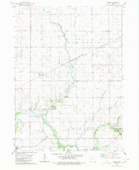
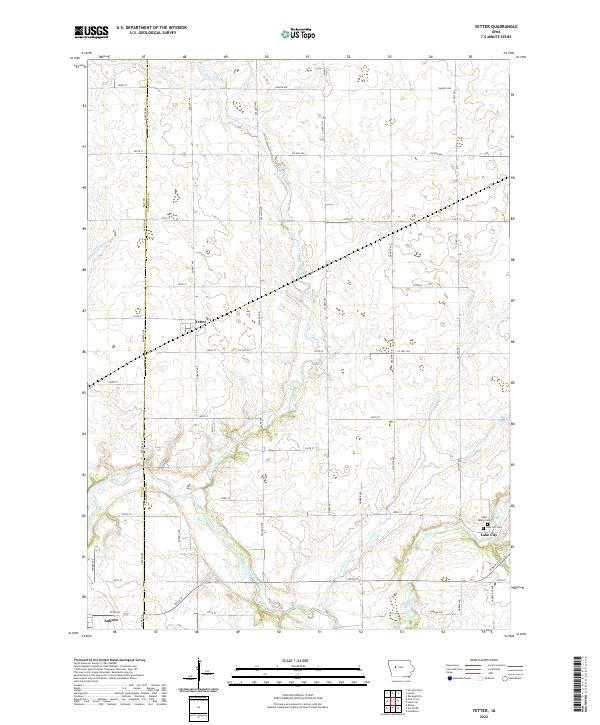
The North Raccoon River winds through the southern reaches of this landscape, carving a natural path across a territory otherwise defined by the rigid geometry of Iowa's township and range system. This 2022 survey captures the transition between the small rail-aligned settlement of Yetter and the larger hub of Lake City to the southeast. The terrain is deeply influenced by agricultural engineering, visible in the artificial channels of Drainage Ditch 31 and Drainage Ditch 198 that supplement natural waterways like Camp Creek and Prairie Creek.
Find a feature on this map
46 named features on this map. Tap any name to fly to it.
Don’t see what you’re looking for? This feature index may not catch every label — zoom into the map to look around manually.
Map Details
Editions of this 2022 Yetter Map
This is the sole edition of this map. No revisions or reprints were ever made.