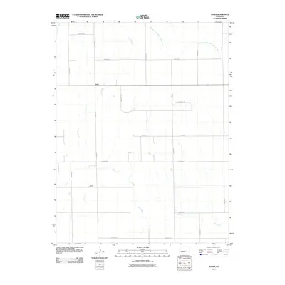
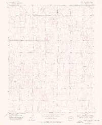
2010 Map of Yoder
USGS Topo · Published 2010About this map
Yoder sits at the center of this high plains landscape, defined by a grid of rural section roads and the meandering path of ephemeral watercourses. The drainage of Pond Creek bisects the terrain diagonally from the northwest, while the West Branch Steels Fork Horse Creek reaches into the northeastern corner of the quadrangle. This 2010 survey illustrates the sparse, ranching-oriented settlement pattern of eastern El Paso County, where long-standing local family names are preserved in the road network, including Sengbeil Rd and Weissen Fluh Rd.
Find a feature on this map
28 named features on this map. Tap any name to fly to it.
Don’t see what you’re looking for? This feature index may not catch every label — zoom into the map to look around manually.
Map Details
Editions of this 2010 Yoder Map
This is the sole edition of this map. No revisions or reprints were ever made.
Other maps of this area

1893 · Big Springs
USGS Topo · 1:125,000

1954 · Pueblo
USGS Topo · 1:250,000

1957 · Pueblo
USGS Topo · 1:250,000

1958 · Pueblo
USGS Topo · 1:250,000

1962 · Pueblo
USGS Topo · 1:250,000

1966 · Pueblo
USGS Topo · 1:250,000
1973 · Hanover NE
USGS Topo · 1:24,000
1973 · Truckton
USGS Topo · 1:24,000
1973 · Big Springs Ranch
USGS Topo · 1:24,000
1973 · Truckton NE
USGS Topo · 1:24,000