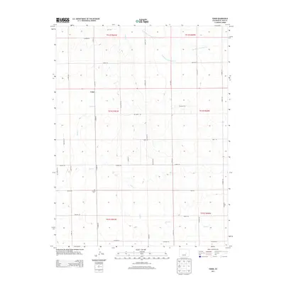
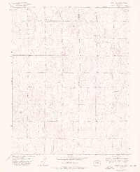
2013 Map of Yoder
USGS Topo · Published 2013About this map
Yoder sits at the heart of this High Plains landscape, where the agricultural grid of eastern El Paso County is defined by a dense network of sectional roads and ephemeral watercourses. The drainage patterns of Pond Cr and the W Br Steels Fork Horse Cr weave through the terrain, illustrating the hydrologic character of the region. Local history and genealogy researchers will find the Antioch Cem located south of the main settlement along Antioch Rd, a significant landmark for tracing early families. The road network, including the N Ramah Hwy and various named routes like Old Windmill Vw and Equestrian Pt, reflects the area's continued reliance on ranching and rural residential development in the early 21st century.
Find a feature on this map
37 named features on this map. Tap any name to fly to it.
Don’t see what you’re looking for? This feature index may not catch every label — zoom into the map to look around manually.
Map Details
Editions of this 2013 Yoder Map
This is the sole edition of this map. No revisions or reprints were ever made.
Other maps of this area

1893 · Big Springs
USGS Topo · 1:125,000

1954 · Pueblo
USGS Topo · 1:250,000

1957 · Pueblo
USGS Topo · 1:250,000

1958 · Pueblo
USGS Topo · 1:250,000

1962 · Pueblo
USGS Topo · 1:250,000

1966 · Pueblo
USGS Topo · 1:250,000
1973 · Hanover NE
USGS Topo · 1:24,000
1973 · Truckton
USGS Topo · 1:24,000
1973 · Big Springs Ranch
USGS Topo · 1:24,000
1973 · Truckton NE
USGS Topo · 1:24,000