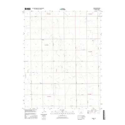
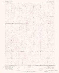
2016 Map of Yoder
USGS Topo · Published 2016About this map
Yoder sits at the center of this high plains landscape in El Paso County, where the topography is defined by the ephemeral drainage patterns of Pond Cr and the W Br Steels Fork Horse Cr. This 2016 survey illustrates the grid-based settlement pattern characteristic of the region, with long-standing family and property boundaries reflected in the network of secondary roads. Evidence of community history is preserved at the Antioch Cem near the intersection of Antioch Rd and Lauppe Rd. The map also documents modern land use and transportation, featuring the Ria Airport in the northeast and a series of distinctively named points and views such as Liahona Pt, Howetter Vw, and Burnt Boot Pt that reveal the local character of the terrain.
Find a feature on this map
38 named features on this map. Tap any name to fly to it.
Don’t see what you’re looking for? This feature index may not catch every label — zoom into the map to look around manually.
Map Details
Editions of this 2016 Yoder Map
This is the sole edition of this map. No revisions or reprints were ever made.
Other maps of this area

1893 · Big Springs
USGS Topo · 1:125,000

1954 · Pueblo
USGS Topo · 1:250,000

1957 · Pueblo
USGS Topo · 1:250,000

1958 · Pueblo
USGS Topo · 1:250,000

1962 · Pueblo
USGS Topo · 1:250,000

1966 · Pueblo
USGS Topo · 1:250,000
1973 · Hanover NE
USGS Topo · 1:24,000
1973 · Truckton
USGS Topo · 1:24,000
1973 · Big Springs Ranch
USGS Topo · 1:24,000
1973 · Truckton NE
USGS Topo · 1:24,000