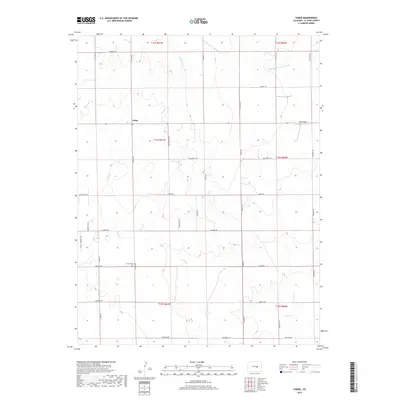
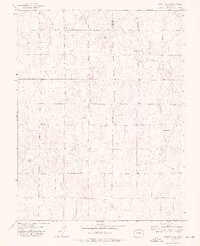
2019 Map of Yoder
USGS Topo · Published 2019About this map
Yoder sits at the center of this high plains landscape in eastern El Paso County, where the topography is defined by the gentle drainages of Pond Cr and the W Br Steels Fork Horse Cr. The settlement pattern follows a rigid rectangular grid of section lines, with long-established thoroughfares such as N Ramah Hwy and Edison Rd connecting isolated farmsteads. Near the southern edge, the Antioch Cem provides a focal point for genealogical interest, while the presence of Ria Airport to the northeast suggests the area's continued role in local regional transport. This 2019 survey illustrates the persistent agricultural character of the region, where family names are often preserved in the road network, including Gieck Rd and Fossinger Rd.
Find a feature on this map
39 named features on this map. Tap any name to fly to it.
Don’t see what you’re looking for? This feature index may not catch every label — zoom into the map to look around manually.
Map Details
Editions of this 2019 Yoder Map
This is the sole edition of this map. No revisions or reprints were ever made.
Other maps of this area

1893 · Big Springs
USGS Topo · 1:125,000

1954 · Pueblo
USGS Topo · 1:250,000

1957 · Pueblo
USGS Topo · 1:250,000

1958 · Pueblo
USGS Topo · 1:250,000

1962 · Pueblo
USGS Topo · 1:250,000

1966 · Pueblo
USGS Topo · 1:250,000
1973 · Hanover NE
USGS Topo · 1:24,000
1973 · Truckton
USGS Topo · 1:24,000
1973 · Big Springs Ranch
USGS Topo · 1:24,000
1973 · Truckton NE
USGS Topo · 1:24,000