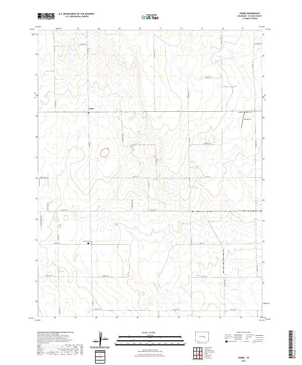
2022 Map of Yoder
USGS Topo · Published 2022About this map
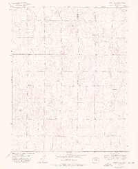
Yoder anchors this high-plains landscape in eastern El Paso County, where the grid of sections meets the meandering courses of Pond Cr and the W Br Steels Fork Horse Cr. The settlement pattern is defined by a rigorous network of section-line roads, such as N Ramah Hwy and N Yoder Rd, which provide access to scattered homesteads and agricultural tracts. Local history and genealogy are anchored at the Antioch Cem near the junction of Antioch Rd and S Yoder Rd. The presence of the Ria Airport on the eastern edge of the quadrangle suggests the continued importance of general aviation in these open rural stretches. The map captures a moment in the 21st century where traditional land divisions remain the dominant feature of this dry-land farming and ranching region.
Find a feature on this map
39 named features on this map. Tap any name to fly to it.
Don’t see what you’re looking for? This feature index may not catch every label — zoom into the map to look around manually.
Map Details
Editions of this 2022 Yoder Map
This is the sole edition of this map. No revisions or reprints were ever made.
Other maps of this area

1893 · Big Springs
USGS Topo · 1:125,000

1954 · Pueblo
USGS Topo · 1:250,000

1957 · Pueblo
USGS Topo · 1:250,000

1958 · Pueblo
USGS Topo · 1:250,000

1962 · Pueblo
USGS Topo · 1:250,000

1966 · Pueblo
USGS Topo · 1:250,000
1973 · Hanover NE
USGS Topo · 1:24,000
1973 · Truckton
USGS Topo · 1:24,000
1973 · Big Springs Ranch
USGS Topo · 1:24,000
1973 · Truckton NE
USGS Topo · 1:24,000