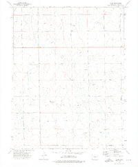
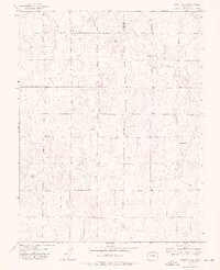
1973 Map of Yoder
USGS Topo · Published 1976About this map
The settlement of Yoder serves as the focal point for this high plains landscape in El Paso County, where a geometric grid of rural routes defines the late twentieth-century cattle and farming country. Surveyed in the early 1970s, the map illustrates a network of family-named roads such as Lauppe Road, Sengbeil Road, and Chambers Road, tracing the lineage of local landholders across the drainage basins of several unnamed creeks. The presence of Antioch Cem near the intersection of Gieck Road and Yoder Road provides a significant touchstone for genealogists and local historians tracking the area's pioneer families. Small surface water features, including various springs and a pond, are scattered throughout the sections, alongside industrial markers like a Gravel Pit near Edison Road, reflecting the practical land use of the era.
Find a feature on this map
19 named features on this map. Tap any name to fly to it.
Don’t see what you’re looking for? This feature index may not catch every label — zoom into the map to look around manually.
Map Details
Editions of this 1973 Yoder Map
This is the sole edition of this map. No revisions or reprints were ever made.
Other maps of this area

1893 · Big Springs
USGS Topo · 1:125,000

1954 · Pueblo
USGS Topo · 1:250,000

1957 · Pueblo
USGS Topo · 1:250,000

1958 · Pueblo
USGS Topo · 1:250,000

1962 · Pueblo
USGS Topo · 1:250,000

1966 · Pueblo
USGS Topo · 1:250,000
1973 · Hanover NE
USGS Topo · 1:24,000
1973 · Truckton
USGS Topo · 1:24,000
1973 · Big Springs Ranch
USGS Topo · 1:24,000
1973 · Truckton NE
USGS Topo · 1:24,000