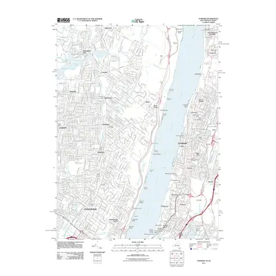
2011 Map of Yonkers
USGS Topo · Published 2011About this map
The Palisades stand as a dramatic geographic divide in this 2011 survey, separating the dense street grids of Yonkers and the Bronx from the wooded suburban corridors of northern New Jersey. The eastern bank of the Hudson River is defined by transit and history, with the New York Central railroad hugging the shoreline below high points like Nodine Hill and Park Hill. Established institutions like Mount Saint Vincent and the Van Cortlandt Stadium anchor the southern urban landscape, while a network of cemeteries including the Cooke Family Cemetery and Brookside Cemetery provide valuable touchpoints for genealogical research.
Find a feature on this map
88 named features on this map. Tap any name to fly to it.
Don’t see what you’re looking for? This feature index may not catch every label — zoom into the map to look around manually.
Map Details
Editions of this 2011 Yonkers Map
This is the sole edition of this map. No revisions or reprints were ever made.
Other maps of this area

1888 · Paterson
USGS Topo · 1:62,500

1891 · Ramapo
USGS Topo · 1:62,500

1891 · Harlem
USGS Topo · 1:62,500

1892 · Paterson
USGS Topo · 1:62,500

1892 · Tarrytown
USGS Topo · 1:62,500

1893 · Tarrytown
USGS Topo · 1:62,500

1893 · Ramapo
USGS Topo · 1:62,500

1897 · Harlem
USGS Topo · 1:62,500

1898 · Harlem
USGS Topo · 1:62,500

1898 · Paterson
USGS Topo · 1:62,500