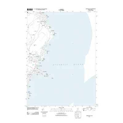
2011 Map of York Beach
USGS Topo · Published 2011About this map
Cape Neddick Lighthouse stands as a primary landmark on this coastal survey, marking the jagged transition from the Atlantic Ocean to the dense network of summer colonies and year-round settlements along the Maine shore. The landscape is defined by its dramatic geological features, including the prominent Bald Head Cliff and the isolated Boon Island situated offshore. Inland, the map reveals a complex arrangement of small residential pockets such as Birch Knoll, York Cliffs, and Ocean View Village, connected by narrow coastal corridors like Shore Rd and Nubble Rd.
Find a feature on this map
81 named features on this map. Tap any name to fly to it.
Don’t see what you’re looking for? This feature index may not catch every label — zoom into the map to look around manually.
Map Details
Editions of this 2011 York Beach Map
This is the sole edition of this map. No revisions or reprints were ever made.
Other maps of this area

1891 · Biddeford
USGS Topo · 1:62,500

1891 · Kennebunk
USGS Topo · 1:62,500

1893 · Kennebunk
USGS Topo · 1:62,500

1893 · York
USGS Topo · 1:62,500

1893 · Biddeford
USGS Topo · 1:62,500

1898 · Kennebunk
USGS Topo · 1:62,500

1920 · York
USGS Topo · 1:62,500

1941 · Biddeford
USGS Topo · 1:62,500

1941 · Kennebunk
USGS Topo · 1:62,500

1944 · Wells
USGS Topo · 1:24,000