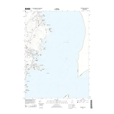
2014 Map of York Beach
USGS Topo · Published 2014About this map
The coastal village of York Beach serves as the focal point for this 2014 study of the Maine shoreline, where seasonal tourism and residential developments meet the Atlantic. The landscape is characterized by a high density of family-named plots, such as Littlefield Lot, Adams Lot, and Perkins Lot, which offer significant value for genealogists tracing local land ownership patterns. These lots are interspersed with historical burial grounds including Locust Grove Cem and Littlefield Cem.
Find a feature on this map
122 named features on this map. Tap any name to fly to it.
Don’t see what you’re looking for? This feature index may not catch every label — zoom into the map to look around manually.
Map Details
Editions of this 2014 York Beach Map
This is the sole edition of this map. No revisions or reprints were ever made.
Other maps of this area

1891 · Biddeford
USGS Topo · 1:62,500

1891 · Kennebunk
USGS Topo · 1:62,500

1893 · Kennebunk
USGS Topo · 1:62,500

1893 · York
USGS Topo · 1:62,500

1893 · Biddeford
USGS Topo · 1:62,500

1898 · Kennebunk
USGS Topo · 1:62,500

1920 · York
USGS Topo · 1:62,500

1941 · Biddeford
USGS Topo · 1:62,500

1941 · Kennebunk
USGS Topo · 1:62,500

1944 · Wells
USGS Topo · 1:24,000