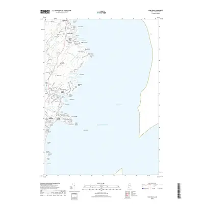
2018 Map of York Beach
USGS Topo · Published 2018About this map
Ogunquit and York Beach occupy this Atlantic shoreline, where a complex mosaic of family lots and historic cemeteries defines the local geography. The coastal landscape is marked by prominent headlands like Bald Head and Cape Neddick, with the iconic Cape Neddick Nubble standing watch over the harbor. Inland, the map reveals a pattern of 19th and early 20th-century land division, with numerous named parcels such as Adams Lot, Perkins Lot, and Staples Lot clustered near Walnut Hill and Clay Hill.
Find a feature on this map
121 named features on this map. Tap any name to fly to it.
Don’t see what you’re looking for? This feature index may not catch every label — zoom into the map to look around manually.
Map Details
Editions of this 2018 York Beach Map
This is the sole edition of this map. No revisions or reprints were ever made.
Other maps of this area

1891 · Biddeford
USGS Topo · 1:62,500

1891 · Kennebunk
USGS Topo · 1:62,500

1893 · Kennebunk
USGS Topo · 1:62,500

1893 · York
USGS Topo · 1:62,500

1893 · Biddeford
USGS Topo · 1:62,500

1898 · Kennebunk
USGS Topo · 1:62,500

1920 · York
USGS Topo · 1:62,500

1941 · Biddeford
USGS Topo · 1:62,500

1941 · Kennebunk
USGS Topo · 1:62,500

1944 · Wells
USGS Topo · 1:24,000